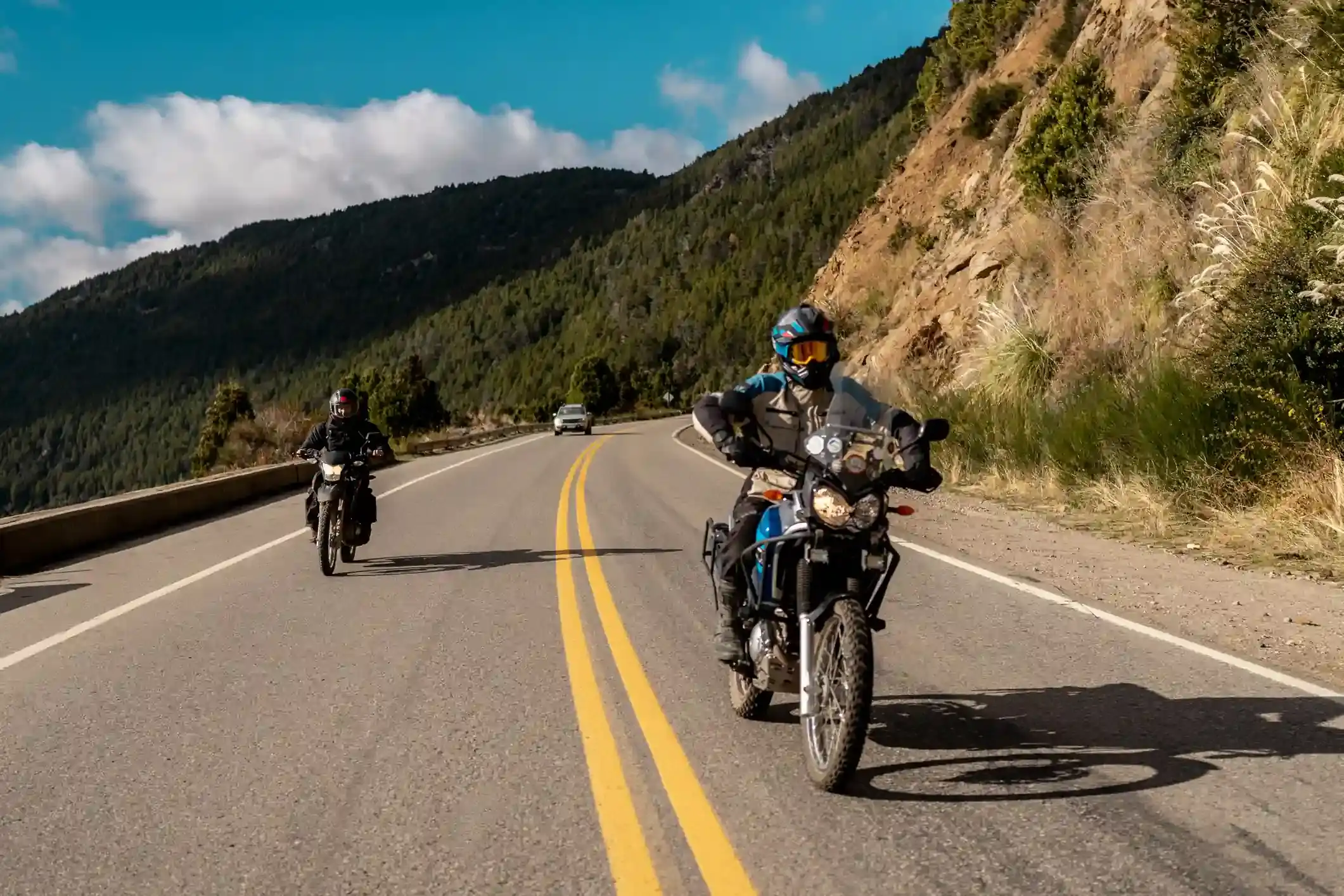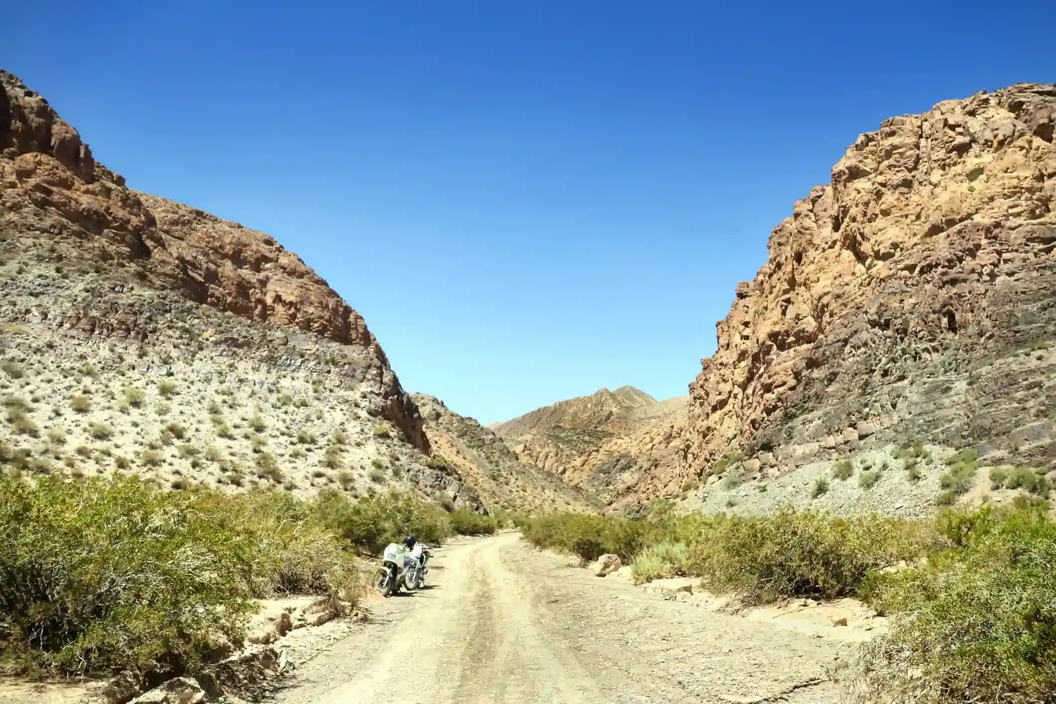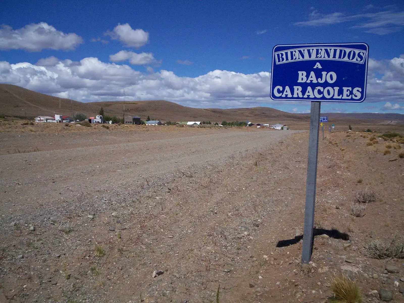
Between Bariloche and El Calafate there are 1,692 km of road and 42 fuel station entries in OpenStreetMap, but 21 of them sit in the first 285 km. South of Esquel there are eight gaps of 100 km or more, the longest is 232 km, and two of the pumps in between are supplied by truck and run dry. The longest gap on paper is Gobernador Costa to Río Mayo, 232 km with nothing at all. The gap that decides your tank size is Perito Moreno to Gobernador Gregores: 355 km with one pump in the middle, at Bajo Caracoles, that you cannot count on.
This note lists every station with its kilometer from Bariloche, its coordinates, the hours where anyone publishes them, and the distance to the next pump; ranks every gap over 100 km; puts the wind and the surface of each segment next to the fuel arithmetic; and finishes with a usable-range table for 14 to 23 liter tanks. The station list comes from our route atlas, built on OpenStreetMap data (fuel stations within 1.5 km of the route, pulled 20 October 2026) and checked here against the sources named in each section; where they disagree we say so instead of picking one. If you want the same arithmetic for your own bike, the fuel range calculator runs it per segment, and the route map shows each station as a point with a GPX download.
Ruta 40 fuel stations from Bariloche to El Calafate at a glance
| Segment (atlas id) | Km | From Bariloche | Stations | Longest gap | Paved (OSM) | Gravel + dirt | Days with gusts over 60 km/h, January |
|---|---|---|---|---|---|---|---|
| Bariloche to Esquel (p1) | 285 | 0 to 285 | 21 | 120 km, Epuyén to Esquel | 247 km | 14 km | 5 |
| Esquel to Perito Moreno (p2) | 539 | 285 to 824 | 10 | 232 km, Gobernador Costa to Río Mayo | 383 km (139 km untagged) | 16 km | 12 |
| Perito Moreno to Gobernador Gregores (p3) | 357 | 824 to 1,181 | 4 | 225 km, Bajo Caracoles to Gobernador Gregores | 285 km (63 km untagged) | 9 km | 16 |
| Gobernador Gregores to El Chaltén (p4) | 298 | 1,181 to 1,479 | 3 | 175 km, Gobernador Gregores to Tres Lagos | 185 km (39 km untagged) | 74 km | 21 |
| El Chaltén to El Calafate (p5) | 213 | 1,479 to 1,692 | 4 | 208 km, El Chaltén to El Calafate | 169 km (35 km untagged) | 9 km | 17 |
Two notes on the numbers. “Untagged” kilometers are roads with no surface tag in OpenStreetMap; on these segments that is almost always recent asphalt nobody has gone back to label (the Río Mayo to Perito Moreno leg is the big one). And the 42 station count is 42 OpenStreetMap entries: the ACA pump at Villa Mascardi is mapped twice, 12 meters apart, so the honest number of pumps is 41. We kept the raw count because that is what the calculator and the map use.
Every gap over 100 km, ranked
Eight gaps of 100 km or more, all south of El Bolsón. The last two rows are not gaps on the map; they are what the gap becomes when a truck-supplied pump is dry, and they are the numbers that matter.
| Rank | Gap | Km | From Bariloche | Segment | What is in between |
|---|---|---|---|---|---|
| 1 | Gobernador Costa (Puma) to Río Mayo (YPF) | 232 | 465 to 697 | p2 | Nothing. Steppe, estancias, the RP 20 junction. |
| 2 | Bajo Caracoles to Gobernador Gregores (YPF) | 225 | 954 to 1,179 | p3 | Las Horquetas (hotel, no fuel), the RP 29 and RP 37 junctions. |
| 3 | El Chaltén (YPF) to El Calafate (YPF) | 208 | 1,480 to 1,688 | p5 | Hotel La Leona (coffee, rooms, no fuel). |
| 4 | Gobernador Gregores (YPF) to Tres Lagos (EPA) | 175 | 1,182 to 1,357 | p4 | 72 km of gravel, the Lago Cardiel junction. |
| 5 | Perito Moreno (Axion) to Bajo Caracoles | 130 | 824 to 954 | p3 | The Cueva de las Manos turn-off. |
| 6 | Río Mayo (YPF) to Perito Moreno (YPF) | 124 | 697 to 821 | p2 | The Chubut–Santa Cruz border. |
| 7 | Epuyén (PetroChubut) to Esquel (Axion) | 120 | 161 to 281 | p1 | Leleque, the Cholila and Los Alerces turn-offs. |
| 8 | Tres Lagos (EPA) to El Chaltén (YPF) | 119 | 1,357 to 1,476 | p4 | Ruta Provincial 23 along Lago Viedma. |
| If Bajo Caracoles is dry | Perito Moreno to Gobernador Gregores | 355 | 824 to 1,179 | p3 | Rows 5 and 2 joined. |
| If Tres Lagos is dry or closed | Gobernador Gregores to El Chaltén | 294 | 1,182 to 1,476 | p4 | Rows 4 and 8 joined. |
The ranking is the atlas’s; the “what is in between” column was checked against the Ruta 40 tourism site’s section guides (updated 7 August 2025), which confirm no fuel at Las Horquetas or La Leona and list the same towns with pumps.
Segment 1, Bariloche to Esquel: 21 stations, one 120 km gap
The easy day: nine pumps in Bariloche, the ACA at Villa Mascardi, four in El Bolsón, one each in El Hoyo and Epuyén, and four around Esquel. Coordinates are OpenStreetMap’s, to four decimals; “hours” is what OpenStreetMap records, which for most small stations is nothing.
| Km | From Bariloche | Station | Town | Lat, lon | Hours (OSM) | To next pump |
|---|---|---|---|---|---|---|
| 0 | 0 | YPF | Bariloche | -41.1380, -71.2959 | – | 0 km |
| 0 | 0 | YPF | Bariloche | -41.1348, -71.3097 | 24/7 | 0 km |
| 0 | 0 | Axion | Bariloche | -41.1328, -71.3182 | – | 0 km |
| 0 | 0 | ACA (YPF fuel) | Bariloche | -41.1327, -71.2984 | – | 1 km |
| 1 | 1 | Puma | Bariloche | -41.1445, -71.2971 | – | 0 km |
| 1 | 1 | YPF | Bariloche | -41.1385, -71.3257 | – | 1 km |
| 2 | 2 | YPF | Bariloche | -41.1481, -71.3049 | Mo–Su 12:00–00:00 | 0 km |
| 2 | 2 | Puma Energy | Bariloche | -41.1468, -71.3110 | – | 1 km |
| 3 | 3 | Axion | Bariloche | -41.1600, -71.3170 | 24/7 | 27 km |
| 30 | 30 | ACA Lago Mascardi (YPF fuel; mapped twice) | Villa Mascardi | -41.3220, -71.4962 | – | 89 km |
| 119 | 119 | YPF | El Bolsón | -41.9470, -71.5366 | – | 1 km |
| 120 | 120 | YPF | El Bolsón | -41.9578, -71.5334 | – | 1 km |
| 121 | 121 | ACA (YPF fuel) | El Bolsón | -41.9679, -71.5358 | – | 0 km |
| 121 | 121 | Puma | El Bolsón | -41.9679, -71.5351 | – | 14 km |
| 135 | 135 | YPF | El Hoyo | -42.0681, -71.5177 | – | 26 km |
| 161 | 161 | PetroChubut (YPF fuel) | Epuyén | -42.2296, -71.3517 | – | 120 km |
| 281 | 281 | Axion | Esquel (north entrance) | -42.9073, -71.2883 | – | 4 km |
| 285 | 285 | YPF | Esquel | -42.9142, -71.3158 | – | 0 km |
| 285 | 285 | ACA (YPF fuel) | Esquel | -42.9158, -71.3190 | – | 0 km |
| 285 | 285 | YPF | Esquel | -42.9132, -71.3195 | – | – |
Cross-check: the Ruta 40 tourism site’s station list (updated 6 August 2025) names Bariloche, Villa Mascardi, El Bolsón, El Hoyo, Epuyén and Esquel, the same towns, and adds Dina Huapi, which is east of Bariloche and not on this route. The Epuyén pump belongs to PetroChubut, the retail brand of Petrominera, the Chubut provincial energy company; the provincial press announced its opening in July 2016 (Diario Jornada) and nobody publishes its hours. The practical consequence: the 120 km from Epuyén to Esquel is comfortable for any tank, but if you leave Bariloche after lunch and find El Hoyo and Epuyén shut, the gap is 165 km from El Bolsón, still comfortable, and nothing to lose sleep over. This is the only segment where the fuel plan is “fill in El Bolsón and forget it”.
Segment 2, Esquel to Perito Moreno: ten stations and the 232 km nobody talks about
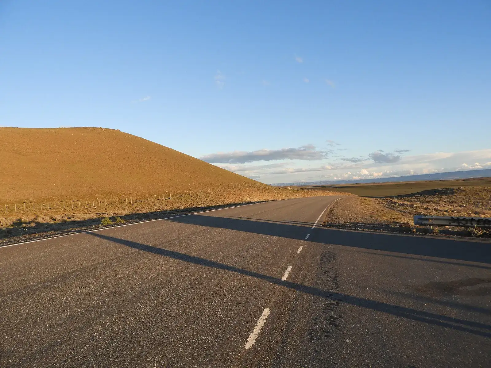
Photo: Raf24, CC BY 4.0, via Wikimedia Commons.
| Km | From Bariloche | Station | Town | Lat, lon | Hours (OSM) | To next pump |
|---|---|---|---|---|---|---|
| 0 | 285 | YPF | Esquel | -42.9142, -71.3158 | – | 0 km |
| 0 | 285 | ACA (YPF fuel) | Esquel | -42.9158, -71.3190 | – | 0 km |
| 0 | 285 | YPF | Esquel | -42.9132, -71.3195 | – | 3 km |
| 3 | 288 | Axion | Esquel (north entrance) | -42.9073, -71.2883 | – | 93 km |
| 96 | 381 | YPF | Tecka | -43.4966, -70.8075 | – | 83 km |
| 179 | 464 | YPF | Gobernador Costa | -44.0485, -70.5936 | – | 1 km |
| 180 | 465 | Puma | Gobernador Costa | -44.0506, -70.5831 | – | 232 km |
| 412 | 697 | YPF | Río Mayo | -45.6904, -70.2563 | – | 124 km |
| 536 | 821 | YPF | Perito Moreno | -46.5841, -70.9210 | – | 1 km |
| 537 | 822 | Axion | Perito Moreno (RN 43 roundabout) | -46.5828, -70.9282 | – | – |
Everyone has heard of Bajo Caracoles. Almost nobody warns you about the day before it, which holds the longest gap of the run. Between the Puma at the south end of Gobernador Costa and the YPF at Río Mayo there are 232 km with no pump, no village and no roadhouse: the tourism site’s Esquel to Perito Moreno guide counts the same stops (Tecka at 91 km from Esquel, Gobernador Costa 89 km later, then 228 km to Río Mayo, then 130 km to Perito Moreno) and the only difference from the atlas is a few kilometers of rounding.
What the cross-check turned up, station by station:
- Tecka. OpenStreetMap has one YPF; the tourism site confirms “Gasoline. Fill tank!”; a Chubut official once named the Tecka YPF as one of the “intermediate stations” that must keep stock because it sits on the north–south Ruta 40 corridor (Diario Jornada). One 2026 motorcycle guide claims it is “often closed on Sundays”; we found no second source for that and treat it as unverified.
- Gobernador Costa. Two pumps a kilometer apart, which the tourism site confirms (“two service stations”); it lists the second as Axion where OpenStreetMap tags it Puma. Brands change hands in Argentina, so expect a YPF and one non-YPF pump and do not plan around which flag it flies.
- Río Mayo. One YPF. OpenStreetMap has no hours and we found none published anywhere; the tourism site’s authors say they “once waited for several hours in Río Mayo” for the tanker, undated. It is a real town of hotels and shops, which is why the atlas treats it as reliable, but reliable is not the same as 24-hour.
- Perito Moreno. Two pumps: the YPF on the town’s main street and a second station at the RN 43 roundabout that OpenStreetMap tags Axion and a 2019 guide listed as Petrobras. A 2026 driving guide lists the Perito Moreno YPF as 24/7 with cash, credit and debit; OpenStreetMap does not record its hours.
The plan for the day: fill at Gobernador Costa whatever the gauge says, because the next pump is 232 km away and there is no truck-supplied bonus in between; fill again at Río Mayo, because tomorrow starts with Bajo Caracoles and you want to leave Perito Moreno full without depending on an early opening. This segment also carries 139 km of untagged road, which is the Río Mayo to Perito Moreno rebuild: pavement, but older guides still describe it as 112 km of gravel, so do not be surprised by roadworks.
Segment 3, Perito Moreno to Gobernador Gregores: the Bajo Caracoles gap
| Km | From Bariloche | Station | Town | Lat, lon | Hours (OSM) | To next pump |
|---|---|---|---|---|---|---|
| 0 | 824 | YPF | Perito Moreno | -46.5841, -70.9210 | – | 0 km |
| 0 | 824 | Axion | Perito Moreno (RN 43 roundabout) | -46.5828, -70.9282 | – | 130 km |
| 130 | 954 | Unbranded pump (bandera blanca) at the hotel | Bajo Caracoles | -47.4445, -70.9263 | – | 225 km |
| 355 | 1,179 | YPF | Gobernador Gregores (town entrance) | -48.7469, -70.2601 | 24/7 | – |
Four stations on 357 km, and the middle one is the most written-about pump in South American adventure riding. Here is what the sources actually say about it, with dates, because most of what circulates is undated.
Who runs it and how the fuel gets there. A La Nación feature from 8 April 2022 describes a village of 34 inhabitants where the store, hotel and pump are one business, run at the time by Edith Alonqueo; the gasoline tank holds 9,000 liters and the diesel tank 4,500, and the fuel is fetched by pickup from Perito Moreno, 140 km away. The store opened “from 8 a.m. until at least 2:30 a.m.” and accepted Chilean pesos. OpenStreetMap tags the pump as bandera blanca, the Argentine term for a station with no oil-company flag; a 2019 Spanish guide called it “YPF Bajo Caracoles”, which the tagging contradicts, and the tourism site’s own Bajo Caracoles page (updated 27 July 2025) only says the village has fuel and that you should “fill the tank, no question”. The hotel’s phone is listed there as (02963) 490100. A 9,000 liter tank is the whole story of why it runs dry: in January every tour group, overlander and motorhome on Ruta 40 fills here, and a single pickup run from Perito Moreno cannot keep up.
Dry days, cash and fuel quality. Traveler check-ins on iOverlander, undated, report that the pump does not take cards, that one rider lost power 80 km after filling here and that another diluted the fuel with 95-octane from elsewhere, and that the business has changed owners since the 2022 article. A Horizons Unlimited post from 2009 says the operator “often runs out and when he does have some on hand, he will ration it out”. The 2 October 2026 Patagonia Scout guide calls it “a single, occasionally dry pump” that runs out “while waiting for a tanker truck”. We found no dated report of a dry day in 2025 or 2026 and no published hours for the pump itself; that is not evidence it did not happen, only that nobody wrote it down where we could find it.
The arithmetic. On paper the longest gap here is 225 km, from Bajo Caracoles to the YPF at the entrance to Gobernador Gregores. In practice the gap you plan for is 355 km, because a pump that depends on a pickup and a 9,000 liter tank is a bonus, not a plan. At 5.5 l/100 km in still air, 355 km costs 19.5 liters; with the calculator’s 30 % Patagonian wind factor it costs 25.4 liters. No bike in our comparator carries that: the largest tank there is 20 liters. So the honest options are three: ride the first 130 km economically and top up at Bajo Caracoles if it has fuel (which keeps the real gap at 225 km); carry enough spare fuel for the difference (see the range table below); or call the hotel before leaving Perito Moreno and ask whether the pickup came.
Hours at Gobernador Gregores. OpenStreetMap records the YPF as 24/7; the 2026 driving guide lists the Gobernador Gregores station as an ACA with “8 AM to 10 PM (variable)” hours and cash or credit. ACA stations sell YPF fuel, so it may be the same pump described twice, but the hours disagree and we could not resolve it. Arrive before 22:00 and the question does not arise. The segment note on the Bajo Caracoles gap has the wind by month and the elevation profile.
Segment 4, Gobernador Gregores to El Chaltén: gravel, Tres Lagos and the windiest road of the five
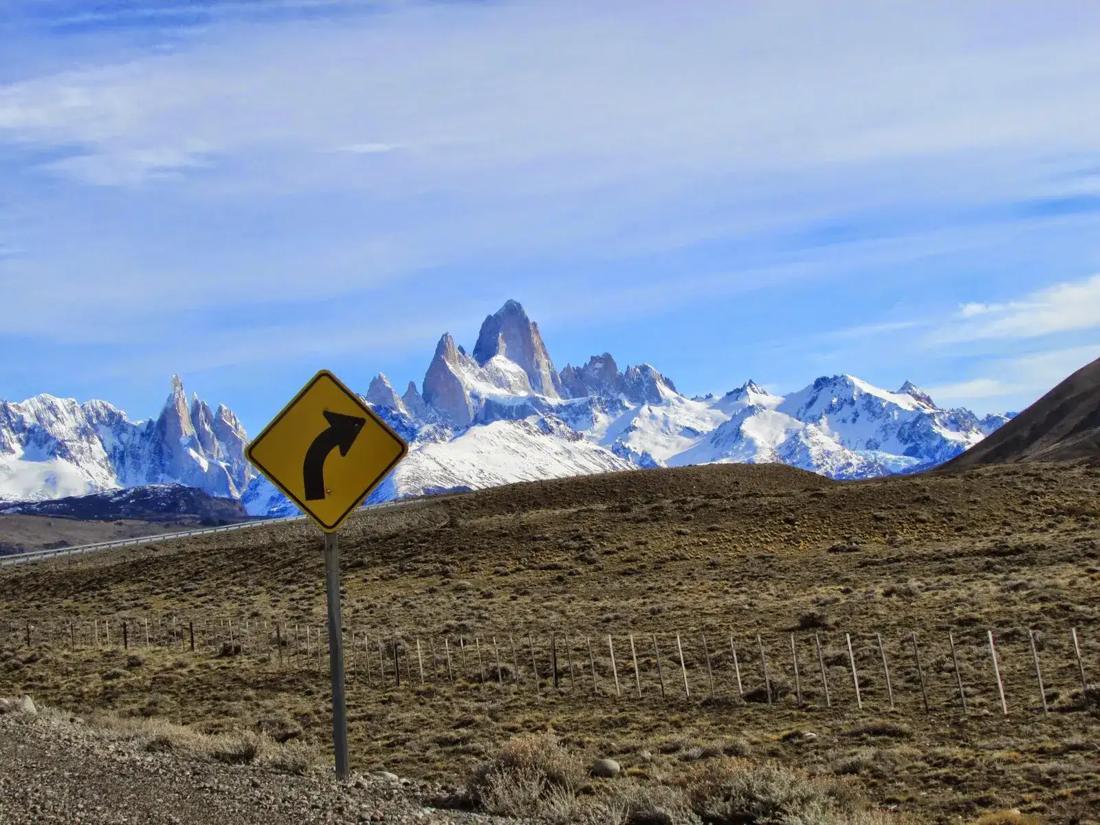
Photo: Cinvir, CC BY-SA 4.0, via Wikimedia Commons.
| Km | From Bariloche | Station | Town | Lat, lon | Hours (OSM) | To next pump |
|---|---|---|---|---|---|---|
| 1 | 1,182 | YPF | Gobernador Gregores (town entrance) | -48.7469, -70.2601 | 24/7 | 175 km |
| 176 | 1,357 | EPA (YPF fuel) | Tres Lagos, on RN 40, 2 km from the village | -49.6029, -71.4793 | – | 119 km |
| 295 | 1,476 | YPF module | El Chaltén, on RP 23 at the town entrance | -49.3393, -72.8710 | – | – |
Three pumps on 298 km, 74 km of gravel and, at the midpoint of the segment, 21 days in January with gusts over 60 km/h: the highest count of any Patagonian segment in our atlas (only the Abra del Acay and the Cuesta de Lipán, in the Andean Highlands, beat it in their own windy months). The gravel sits between Gobernador Gregores and Tres Lagos; Patagonia Scout gives it as “the 72-kilometer stretch between Gobernador Gregores and Tres Lagos” in its 2026/27 road report, the tourism site’s Tres Lagos to Perito Moreno guide says about 72 km from 40 km north of Tres Lagos to the Lago Cardiel junction with “completion day uncertain”, and OpenStreetMap’s 74 km of gravel and dirt agrees within rounding.
Tres Lagos. The pump is 2 km outside the village on Ruta 40 (OpenStreetMap places it at the coordinates above; a business directory gives “RN 40, 3 km from Tres Lagos”). It is not a YPF station in the normal sense: on 9 September 2024 the Santa Cruz government announced that the Tres Lagos station had joined EPA, the provincial station network, after its tanks, pipes and pump filters were refurbished and it was registered with the national fuel-outlet registry; the release promised “permanent supply” and market prices and gave no hours. OpenStreetMap tags it “EPA” with YPF fuel. Before and since, the reports are consistent: iOverlander check-ins (undated) warn of “sometimes no fuel at all”; a travel-agency guide lists it as “occasional supply only”; the tourism site’s station list marks it “YPF ?”; and in January 2019, when El Chaltén ran short, the municipality told drivers to fill up “in El Calafate or Tres Lagos” (La Opinión Austral), which tells you it is sometimes the one that works. Nobody publishes its hours. Treat it exactly like Bajo Caracoles: fill if it is open, plan as if it were not.
El Chaltén. One pump for the whole town, and it has been the same container-sized unit since YPF inaugurated its “Módulo de Abastecimiento Social” on 7 October 2013 (Ahora Calafate); before it arrived the town sold rationed fuel at 20 liters per vehicle (Tiempo Sur, September 2013). It sells nafta súper on one side and diesel on the other, by one attendant. Hours in the sources range from 08:00–22:00 (an old directory listing) to “8 AM to 11 PM (seasonal)” in the 2026 driving guide, with reviews mentioning a 19:00 close; payment is listed as cash and debit by the guide and “cash only” by several reviews. In April 2021 the mayor was still asking YPF to study a permanent station (Tiempo Sur); we found nothing to suggest it was built. The January 2019 episode, cars queuing “waiting for the YPF truck”, is the pattern: the module depends on a tanker, and when the tanker is late the town has no fuel. Fill in the evening when you arrive, not in the morning when every rental car is doing the same, and carry pesos.
The segment note, gravel, Tres Lagos and the windiest road in Patagonia, has the elevation profile and the month-by-month wind.
Segment 5, El Chaltén to El Calafate: one pump at each end
Photo: Fernando de Gorocica, CC BY-SA 4.0, via Wikimedia Commons.
| Km | From Bariloche | Station | Town | Lat, lon | Hours (OSM) | To next pump |
|---|---|---|---|---|---|---|
| 1 | 1,480 | YPF module | El Chaltén, on RP 23 at the town entrance | -49.3393, -72.8710 | – | 208 km |
| 209 | 1,688 | YPF | El Calafate (east entrance) | -50.3313, -72.2297 | – | 3 km |
| 212 | 1,691 | YPF | El Calafate | -50.3383, -72.2592 | – | 1 km |
| 213 | 1,691 | Axion | El Calafate | -50.3392, -72.2766 | – | – |
Four stations, all in the two towns, and 208 km between the El Chaltén module and the first YPF of El Calafate. Hotel La Leona, at the Río La Leona bridge roughly halfway, is a hotel, a bar and a souvenir shop (La Nación, April 2024); it has no pump, and neither OpenStreetMap nor the tourism site’s El Calafate to Tres Lagos guide lists fuel anywhere between the two towns. El Calafate’s stations are full-size and the 2026 driving guide lists them as 24/7 with cards. The day is short in kilometers and long in wind: 17 days of gusts over 60 km/h in January at the midpoint, with a headwind on the Lago Argentino shore for the last 50 km. Leave El Chaltén full and the 208 km is comfortable on a 16 liter tank in any wind the range table allows; leave on half a tank and it is not. The segment note on La Leona, Lago Argentino and the 208 km without fuel has the details.
Fuel grades, prices and paying for it
Grades. Argentine pumps sell two gasolines: nafta súper, the grade 2 fuel at roughly 95 RON, and premium, grade 3 at roughly 98 RON (El Cronista, 30 March 2026); the premium is sold as Infinia by YPF, V-Power by Shell and Quantium by Axion. Every adventure bike in our comparator runs on 95. South of Gobernador Gregores do not count on premium at all: the El Chaltén module sells súper and diesel, the La Nación piece on Bajo Caracoles quotes a price only for súper, and nobody documents what Tres Lagos stocks. If your manual demands 98, the last full-brand stations are Perito Moreno, Gobernador Gregores and El Calafate, and even there we could not confirm the grade from public sources.
Prices at the time of writing. Argentina has no national price; each brand posts by station. Three YPF data points from October 2026, converted at the Banco Nación selling rate of ARS 1,560 per US dollar on 30 October 2026 (Dólar Histórico):
| Place (YPF) | Date | Súper, ARS/l | Súper, USD/l | Infinia, ARS/l | Infinia, USD/l | Source |
|---|---|---|---|---|---|---|
| Buenos Aires city | 20 Oct 2026 | 2,099 | 1.35 | 2,315 | 1.48 | La Nación |
| Río Gallegos, Santa Cruz | 27 Oct 2026 | 2,017 | 1.29 | 2,359 | 1.51 | Diario Nuevo Día |
| Lago Puelo, Chubut (Ruta 40 corridor) | 13 Oct 2026 | 1,941 | 1.24 | 2,237 | 1.43 | combustibles.ar |
Call it ARS 2,000 a liter for súper, or USD 1.30: a 16 liter fill is about ARS 32,000 (USD 21), and the whole 1,692 km at 5.5 l/100 km is 93 liters, about ARS 190,000 or USD 120. Prices rose about 2.4 % in October in Río Gallegos (súper up ARS 48 in a month) and the government has frozen the next fuel-tax step until 1 December 2026 (Decreto 1305/2026), so expect these numbers to drift up, not down, by the time you ride. The bandera blanca pump at Bajo Caracoles sets its own price and nobody has published it since 2022.
The Patagonian fuel tax, what is left of it. The law still exists: article 7, paragraph d) of Ley 23.966, as rewritten by Ley 27.430 in December 2017, exempts the two unleaded gasoline grades from the national liquid-fuels tax when they are consumed in Neuquén, La Pampa, Río Negro, Chubut, Santa Cruz, Tierra del Fuego, the Patagones district of Buenos Aires province and Malargüe in Mendoza, and charges gasoil, diesel and kerosene a reduced fixed amount instead (consolidated text on InfoLEG). What reaches the pump is another matter. In September 2026 a group of Patagonian deputies filed a bill to force a retail price 22 % below Buenos Aires, arguing that the gap in 2025 and 2026 “ranges between 0 and 5 %” where it used to be close to 20 %. Our three data points agree: YPF súper in Río Gallegos is 3.9 % below Buenos Aires, Lago Puelo 7.5 %. We could not establish from public sources why the exemption no longer shows at the pump the way it did; for planning, assume Patagonian gasoline costs within 5 to 8 % of Buenos Aires and treat anything cheaper as luck.
Paying. In Bariloche, Esquel and El Calafate the big-brand stations take international cards and Mercado Pago QR; YPF’s own alliance with Mercado Pago runs at its branded stations, not at a bandera blanca pump. Everything the sources say about the small pumps points the same way: Bajo Caracoles “doesn’t take cards” (iOverlander) and accepted Chilean pesos in 2022; the El Chaltén module is “cash and debit” or “cash only” depending on who you read; Patagonia Scout’s October 2026 guide says “remote fuel stations often demand cash” and that ATMs in Río Mayo and Perito Moreno “frequently run out of bills or reject international cards”. The 2026 arithmetic: carry enough pesos for every fill south of Esquel at ARS 40,000 per 20 liter tank, which for the five fills from Gobernador Costa to El Chaltén is about ARS 200,000 (USD 130) in cash. Withdraw it in Esquel.
Wind and surface per segment, and what they do to consumption
The route atlas carries ten years of ERA5 reanalysis (2016–2025) at the midpoint of each segment: the mean of the daily maximum wind and the number of days per month with gusts over 60 km/h. The two windiest segments by that count are Gobernador Gregores to El Chaltén (p4) and El Chaltén to El Calafate (p5); the Bajo Caracoles segment (p3) has the strongest mean daily maximum.
| Month | p3 mean daily max, km/h | p3 days gusts > 60 | p4 mean daily max, km/h | p4 days gusts > 60 | p5 mean daily max, km/h | p5 days gusts > 60 |
|---|---|---|---|---|---|---|
| Jan | 37 | 16 | 33 | 21 | 36 | 17 |
| Feb | 35 | 11 | 30 | 15 | 33 | 12 |
| Mar | 33 | 10 | 29 | 13 | 30 | 9 |
| Apr | 30 | 7 | 24 | 9 | 24 | 4 |
| May | 26 | 4 | 21 | 5 | 19 | 2 |
| Jun | 26 | 3 | 21 | 5 | 19 | 2 |
| Jul | 28 | 5 | 22 | 8 | 20 | 3 |
| Aug | 29 | 7 | 23 | 9 | 22 | 4 |
| Sep | 30 | 7 | 26 | 11 | 25 | 5 |
| Oct | 35 | 12 | 31 | 17 | 30 | 10 |
| Nov | 37 | 15 | 32 | 17 | 33 | 13 |
| Dec | 39 | 17 | 33 | 19 | 36 | 17 |
For comparison, Bariloche to Esquel sees 5 such days in January and a mean daily maximum of 11 km/h, and Esquel to Perito Moreno 12 days and 31 km/h. The riding season is the windy season: from October to February every segment south of Esquel has between 10 and 21 gusty days a month, and the calmer months of May to August are the ones with snow days in the atlas and highs of 2 to 6 °C. The season planner and our best time to ride Patagonia guide weigh that trade-off; for fuel, the point is that you cannot plan the Santa Cruz gaps for a calm day, because in summer there are not many.
Surface, from OpenStreetMap’s surface tags:
| Segment | Paved | Gravel + dirt | Untagged | Where the gravel is |
|---|---|---|---|---|
| p1 Bariloche to Esquel | 247 km | 14 km | 24 km | Side streets and short link roads |
| p2 Esquel to Perito Moreno | 383 km | 16 km | 139 km | Roadworks; the untagged block is the rebuilt Río Mayo to Perito Moreno leg |
| p3 Perito Moreno to Gobernador Gregores | 285 km | 9 km | 63 km | Roadworks and shoulders |
| p4 Gobernador Gregores to El Chaltén | 185 km | 74 km | 39 km | Ruta 40 between Gobernador Gregores and Tres Lagos |
| p5 El Chaltén to El Calafate | 169 km | 9 km | 35 km | Approaches and roadworks |
What that does to consumption, with sources rather than folklore. Aerodynamic drag grows with the square of airspeed, and a headwind is simply higher airspeed: a worked example for a car at highway speed puts a 10 km/h headwind at about 20 % more drag and about 10 % more fuel (AutoExpert); AAA’s rule of thumb is “for every 10 mph of headwind or crosswind, fuel efficiency is reduced by as much as 13 %” (AAA via KFYR, October 2023). A motorcycle has a worse drag coefficient than a car and no streamlining to speak of, so those are floors, not ceilings. On a day when the mean maximum is 37 km/h (23 mph), AAA’s rule alone gives 20 to 30 % more fuel; that is why the calculator’s Patagonian setting is +30 % and why the 74 km of gravel on p4, ridden slower but in lower gears with the throttle open against the gusts, is budgeted in the same bracket. We have no measured motorcycle figures for this road and will not invent them.
The range math: tanks, consumption and every gap
Same method as the calculator: usable range is tank ÷ (consumption × condition factor) × 100, times 0.9 to keep a 10 % reserve. A gap longer than the usable range is no; a gap over 70 % of it is tight; the rest is ok. The condition factor is 1.0 for pavement in still air and 1.3 for the calculator’s “gravel, loaded, Patagonian wind” setting (a 25 % penalty gives numbers about 4 % better than the 1.3 column; the verdicts barely move). The consumption figures are assumptions for you to match to your own bike: 4.5 l/100 km is a 650 to 700 cc twin at 90 km/h, 5.5 is a loaded 800 to 900 cc bike at touring pace, 6.5 is the same bike pushed.
Still air, pavement (factor 1.0):
| Tank | l/100 km | Usable km | 232 (p2) | 225 (p3) | 208 (p5) | 175 (p4) | 355 if Bajo Caracoles is dry | 294 if Tres Lagos is dry |
|---|---|---|---|---|---|---|---|---|
| 14 l | 4.5 | 280 | tight | tight | tight | ok | no | no |
| 14 l | 5.5 | 229 | no | tight | tight | tight | no | no |
| 14 l | 6.5 | 194 | no | no | no | tight | no | no |
| 16 l | 4.5 | 320 | tight | tight | ok | ok | no | tight |
| 16 l | 5.5 | 262 | tight | tight | tight | ok | no | no |
| 16 l | 6.5 | 222 | no | no | tight | tight | no | no |
| 18 l | 4.5 | 360 | ok | ok | ok | ok | tight | tight |
| 18 l | 5.5 | 295 | tight | tight | tight | ok | no | tight |
| 18 l | 6.5 | 249 | tight | tight | tight | tight | no | no |
| 20 l | 4.5 | 400 | ok | ok | ok | ok | tight | tight |
| 20 l | 5.5 | 327 | tight | ok | ok | ok | no | tight |
| 20 l | 6.5 | 277 | tight | tight | tight | ok | no | no |
| 23 l | 4.5 | 460 | ok | ok | ok | ok | tight | ok |
| 23 l | 5.5 | 376 | ok | ok | ok | ok | tight | tight |
| 23 l | 6.5 | 318 | tight | tight | ok | ok | no | tight |
Gravel, loaded, Patagonian wind (factor 1.3):
| Tank | l/100 km | Usable km | 232 (p2) | 225 (p3) | 208 (p5) | 175 (p4) | 355 if Bajo Caracoles is dry | 294 if Tres Lagos is dry |
|---|---|---|---|---|---|---|---|---|
| 14 l | 4.5 | 215 | no | no | tight | tight | no | no |
| 14 l | 5.5 | 176 | no | no | no | tight | no | no |
| 14 l | 6.5 | 149 | no | no | no | no | no | no |
| 16 l | 4.5 | 246 | tight | tight | tight | tight | no | no |
| 16 l | 5.5 | 201 | no | no | no | tight | no | no |
| 16 l | 6.5 | 170 | no | no | no | no | no | no |
| 18 l | 4.5 | 277 | tight | tight | tight | ok | no | no |
| 18 l | 5.5 | 227 | no | tight | tight | tight | no | no |
| 18 l | 6.5 | 192 | no | no | no | tight | no | no |
| 20 l | 4.5 | 308 | tight | tight | ok | ok | no | tight |
| 20 l | 5.5 | 252 | tight | tight | tight | ok | no | no |
| 20 l | 6.5 | 213 | no | no | tight | tight | no | no |
| 23 l | 4.5 | 354 | ok | ok | ok | ok | no | tight |
| 23 l | 5.5 | 290 | tight | tight | tight | ok | no | no |
| 23 l | 6.5 | 245 | tight | tight | tight | tight | no | no |
Read across a few real tanks from the comparator (manufacturer figures for the model years listed there):
- Yamaha Ténéré 700, 16 liters (2025). At 5.5 l/100 km it is tight on all four big gaps in still air and cannot cross any of the three longest with the wind factor on. This is the bike the CFMoto 800MT Explore versus Ténéré 700 note compares on exactly this point. On Ruta 40 south it needs 5 liters of spare fuel or a disciplined 4.5 l/100 km.
- BMW F 900 GS, 14.5 liters (2024). At 5.5 l/100 km, 237 km usable in still air: 232 km to Río Mayo is a coin toss, and with the wind on (182 km) it is three gaps it cannot cross. Not the bike for this road without a 10 liter bladder.
- CFMoto 800MT Explore, 19 liters (2024). At 5.5, 311 km usable in still air, 239 km with the wind: every mapped gap is reachable, the three longest are tight when it blows, and the 355 km Bajo Caracoles worst case is out of reach either way.
- Triumph Tiger 900 Rally Pro, 20 liters (2024), and KTM 890 Adventure R, 20 liters (2024). The 20 liter rows: comfortable in still air at 5.5, tight on the three longest gaps with the wind, and 355 km is still a no. Twenty liters buys margin, not immunity.
- Honda XL750 Transalp, 16.9 liters (2024), and Aprilia Tuareg 660, 18 liters (2024). Between the 16 and 18 liter rows. The Tuareg at 4.5 l/100 km gives 277 km usable with the wind on: every mapped gap reachable, the three longest tight.
The conclusion is the same from every row: no production adventure bike crosses 355 km on a windy day on its own tank. Either Bajo Caracoles has fuel, or you carry it. Run your own numbers in the calculator and load the GPX of the whole run, which carries every station as a waypoint, into your navigation.
When to fill, what to carry, what to do when a pump is dry
When to fill. Evening, not morning, in El Chaltén and Perito Moreno: the El Chaltén module queues because it is one attendant and one pump for a town of rental cars, and the January 2019 queue was literally people waiting for the tanker. Before 22:00 in Gobernador Gregores, where the two sources disagree on whether the pump runs all night. In daylight at Bajo Caracoles and Tres Lagos, because no source publishes their pump hours and both depend on someone being there. Every pump south of Esquel, whatever the gauge says: the only cost of a top-up you did not need is ten minutes, and the cost of the one you skipped is a day.
What to carry. A fuel container that a station will actually fill. Argentine stations are bound by national Energy Secretariat rules that allow bulk sales only into non-deformable metal or plastic containers with hermetic closures that are approved for fuel, filled through an extension spout, and the station is liable for filling anything else (ANBariloche, April 2021); a soft-drink bottle will be refused at a branded station, and rightly. Plastic jerrycans (bidones) in 5, 10 and 20 liter sizes are sold at larger stations and hardware stores along the route; purpose-made motorcycle fuel bladders such as the Giant Loop Gas Bag (3.8 to 18.9 liters across the range, per the maker’s announcement) and the Desert Fox cells (3, 6 and 20 liters) pack flat when empty, which matters on a bike that is already carrying luggage. How much: the difference between what your tank gives and what the gap costs. At 5.5 l/100 km and factor 1.3, 232 km costs 16.6 liters, 355 km costs 25.4. A 16 liter bike therefore needs 5 liters to make the mapped gaps routine and 10 to make the Bajo Caracoles worst case possible; a 20 liter bike needs none for the mapped gaps and 5 to 6 for the worst case. Fill the container at the last big-town pump (Perito Moreno, Gobernador Gregores), not at the truck-supplied ones.
What to do when a pump is dry. Verified options only, which is why the list is short.
- Bajo Caracoles has no fuel. The pump and the hotel are one business, so the hotel is the only place to ask when the pickup from Perito Moreno is due; the phone listed on the tourism site is (02963) 490100, and calling from Perito Moreno before you leave is the cheapest insurance there is. Behind you: Perito Moreno, 130 km, and Los Antiguos, off-route on Lago Buenos Aires, which the travel-agency guide lists as a “reliable YPF”. Ahead there is nothing until Gobernador Gregores, 225 km.
- Tres Lagos is dry or shut. Gobernador Gregores is 175 km back, El Chaltén 119 km ahead; which one you can reach is the whole decision, and the table above answers it.
- El Chaltén is dry or the queue is an hour. The municipality’s own advice in the 2019 shortage was to fill in El Calafate (208 km) or Tres Lagos (119 km). If you arrived full the evening before, you have 208 km in the tank and the queue is someone else’s problem.
- Estancias. The tourism site notes that on the steppe the estancias are “the only source of assistance in case of emergencies”. They are not fuel stations and do not sell fuel; they are where you ask for help when the arithmetic has already failed.
The time of year. We found no published seasonal schedule for any of the small pumps between Esquel and El Calafate, and no source that documents a winter closure of Bajo Caracoles, Tres Lagos or the El Chaltén module; the La Nación piece on Bajo Caracoles says only that when the road closes for ice and snow “we do not know when it will reopen”. The atlas says the same thing from the other side: from May to August the midpoint of the Bajo Caracoles segment averages highs of 2 to 5 °C and two to four snow days a month. Outside October to April the question is not whether the pump is open but whether the road is.
The rules we ride by
- Fill at every pump south of Esquel. The next one is 119 to 232 km away on the map and 294 to 355 km away if the truck is late.
- Plan the Santa Cruz gaps at factor 1.3. Between October and February the midpoints of p3, p4 and p5 see 10 to 21 days a month of gusts over 60 km/h; a calm day is the exception, not the plan.
- Treat Bajo Caracoles and Tres Lagos as a bonus. One is a 9,000 liter tank filled by pickup; the other joined a provincial network in 2024 and still gets “sometimes no fuel” reports. Top up when they have fuel; never arrive needing them.
- Fill in the evening in El Chaltén and Perito Moreno. One pump, one attendant and a tanker schedule you do not control.
- Carry what the table says, in a container a station will fill. Five liters for a 16 liter tank on the mapped gaps; ten if you want the Bajo Caracoles worst case covered.
- Carry cash south of Esquel. About ARS 40,000 per 20 liter fill at October 2026 prices, and ATMs in Río Mayo and Perito Moreno are not a plan.
On our Patagonia tours the support van carries spare fuel, which is one of the reasons riders join us for this road rather than ride it alone. The arithmetic above still applies to the bike under you; the van just means a mistake costs ten minutes instead of a day. Before you commit to any of these segments alone, read the Ruta 40 rider’s guide for the road as a whole and our notes on planning a motorcycle trip in Argentina for the kilometers-per-day arithmetic that goes with it.
FAQ
What is the longest stretch without fuel on Ruta 40 between Bariloche and El Calafate? 232 km, from the Puma at the south end of Gobernador Costa to the YPF in Río Mayo, with nothing in between. The stretch people worry about is the 355 km from Perito Moreno to Gobernador Gregores, which has one pump in the middle at Bajo Caracoles that runs dry.
Is there fuel at Bajo Caracoles? Usually. It is an unbranded pump at the village hotel, with a 9,000 liter gasoline tank refilled by pickup from Perito Moreno 140 km away (La Nación, 2022), cash only according to traveler reports, and no published hours. Plan the 355 km as if it were empty and be pleased when it is not; the hotel’s listed phone is (02963) 490100.
How far apart are the gas stations on Ruta 40 in Patagonia? Between Bariloche and Esquel never more than 120 km. South of Esquel the gaps are 232, 124, 130, 225, 175, 119 and 208 km in order, and the two truck-supplied pumps (Bajo Caracoles, Tres Lagos) can turn the 130 + 225 into 355 and the 175 + 119 into 294.
What tank size do I need for Ruta 40? Twenty liters at 5.5 l/100 km crosses every mapped gap, tight on the three longest when the wind is up; sixteen liters needs 5 liters of spare fuel for the same job. Nothing under 25 liters of usable fuel crosses 355 km on a windy day, so every tank needs either a working Bajo Caracoles or a container.
Is there a map of the Ruta 40 gas stations? Yes: our interactive route map shows all 42 OpenStreetMap stations between Bariloche and El Calafate as points, segment by segment, with a GPX for each segment and for the whole run.
Which fuel grade should I use, and will small pumps have it? Nafta súper, about 95 RON, which every modern adventure bike runs on; premium (Infinia, V-Power, Quantium, about 98 RON) exists at big-town stations only. The El Chaltén module sells súper and diesel, Bajo Caracoles quotes súper, and nobody documents what Tres Lagos stocks.