What this stretch is
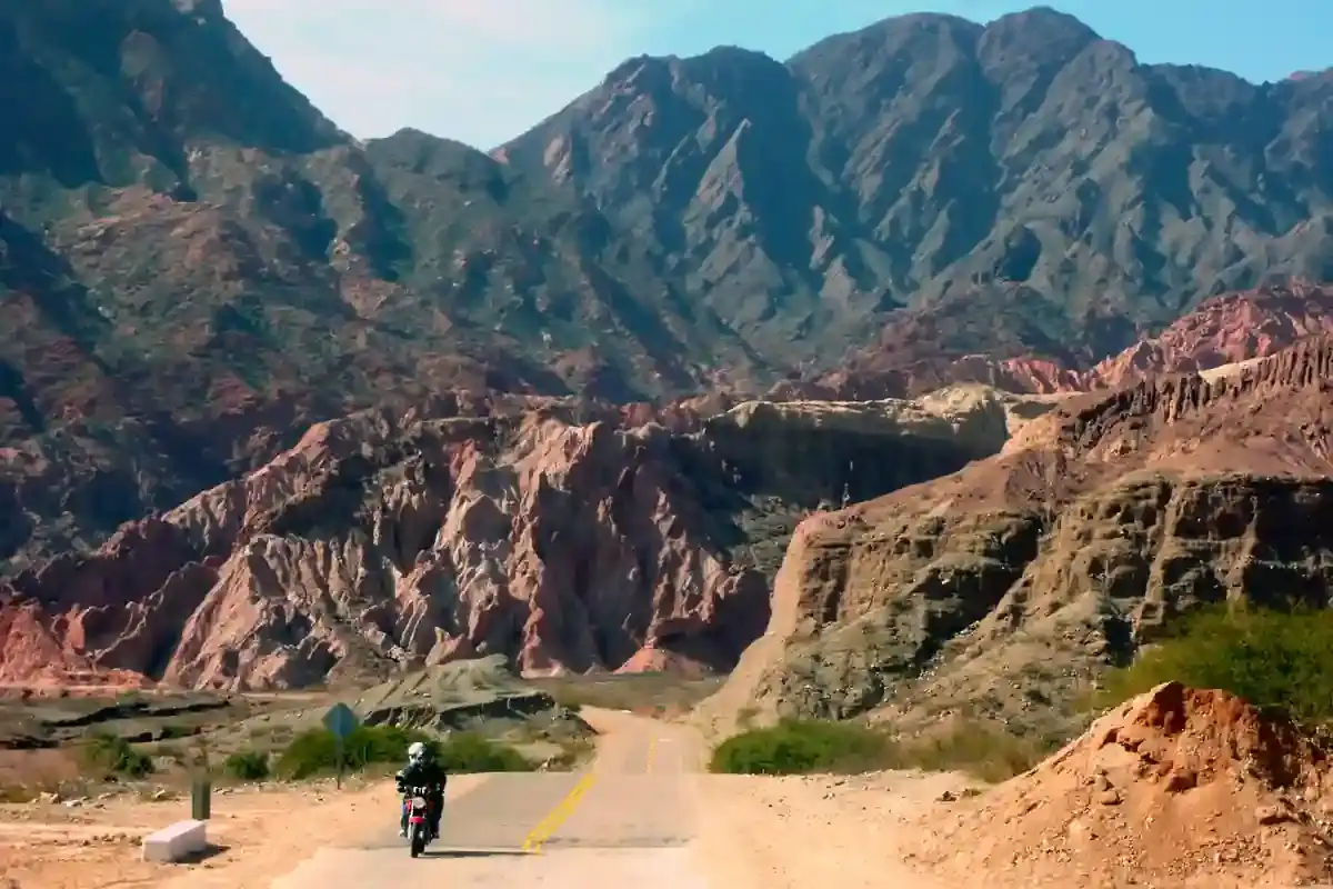
From Esquel the road climbs out of the last Andean valley and settles onto the plateau. For the next 539 km Ruta 40 runs south across the Chubut steppe, parallel to the mountains but far from them: Tecka at kilometre 96, Gobernador Costa at 180, then a long empty leg to Río Mayo at 412, and the final run into Santa Cruz province and Perito Moreno at 537. It is the longest day of the five and the one with the fewest reasons to stop.
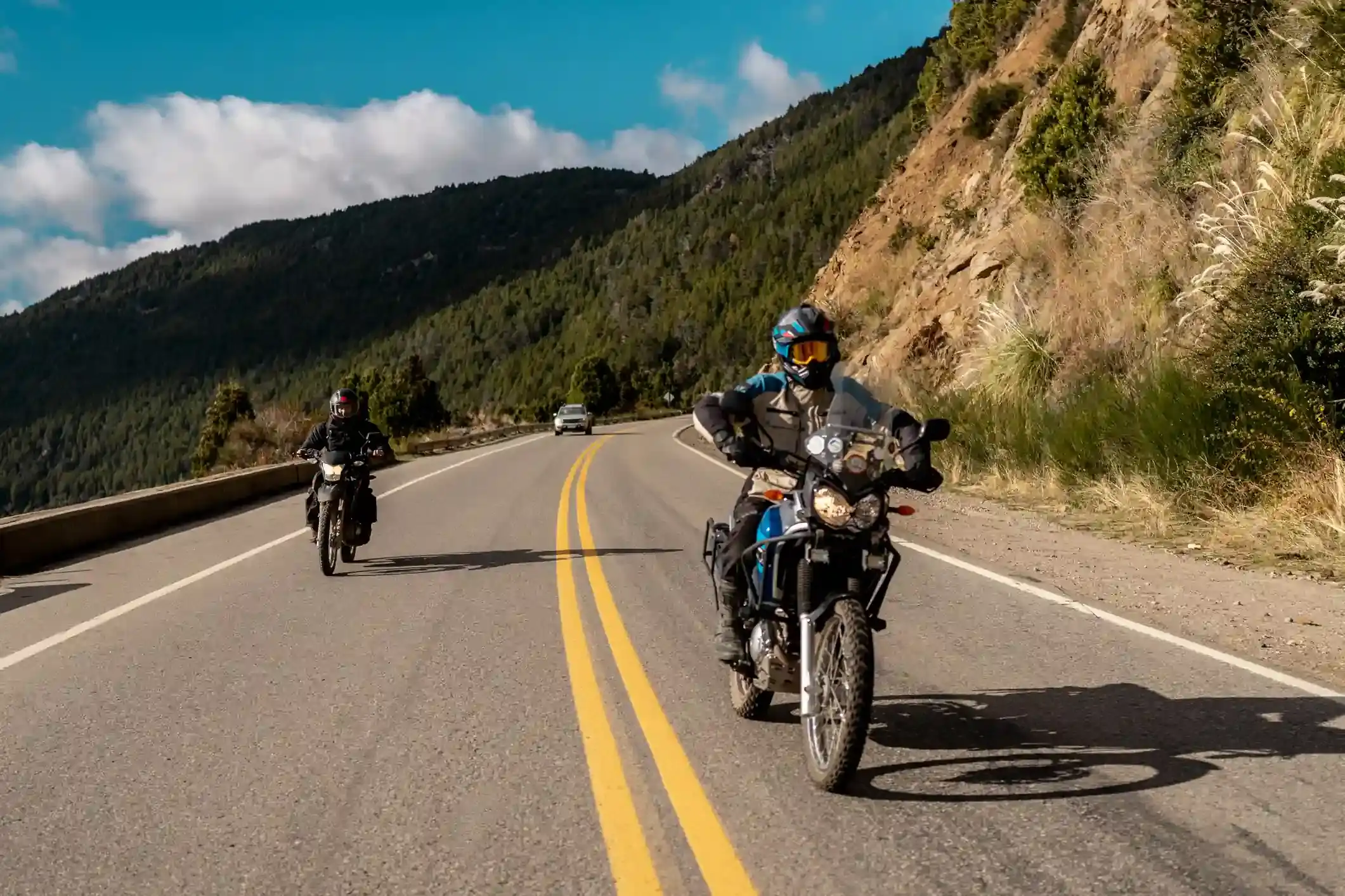
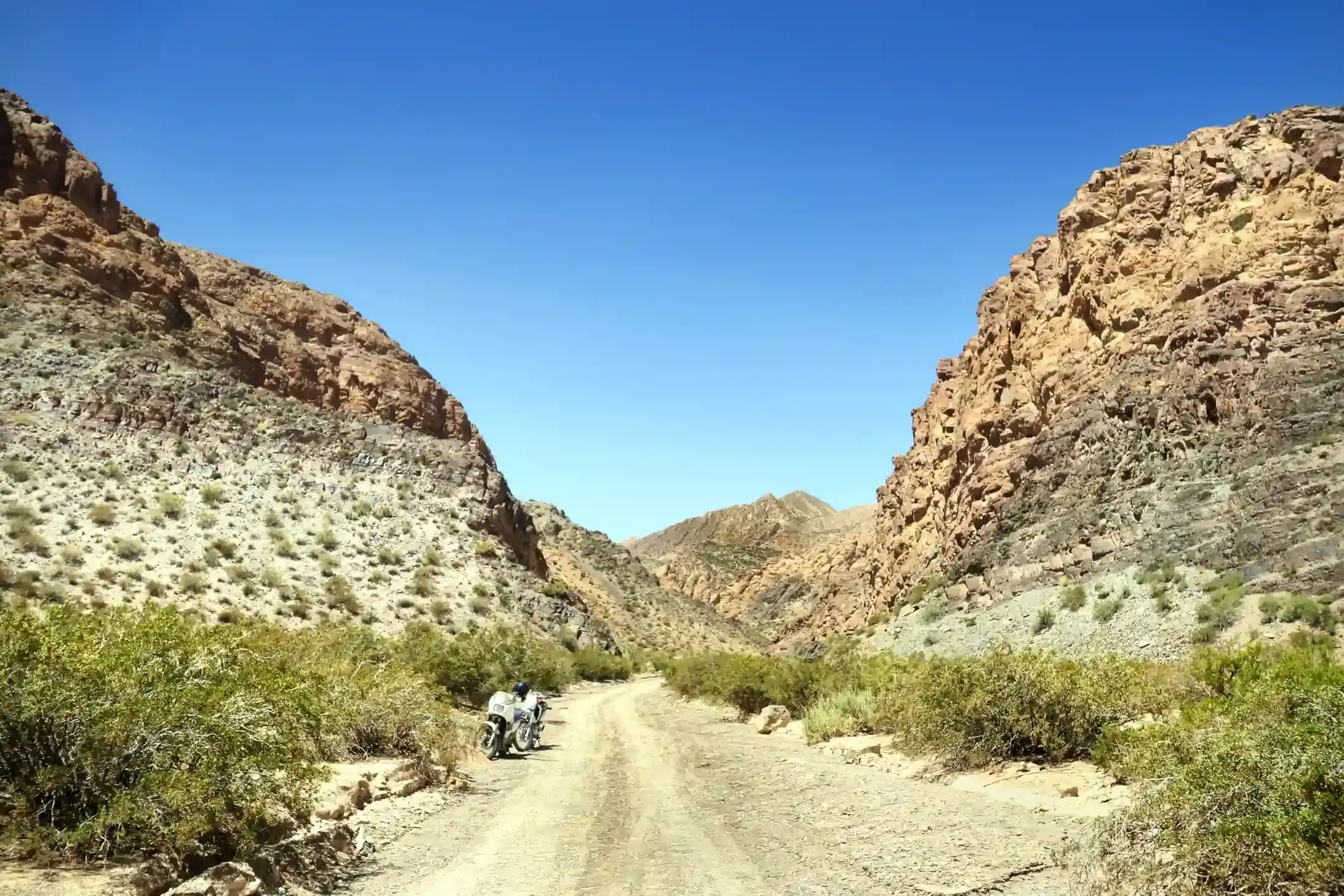
The surface is better than its reputation. OpenStreetMap tags 383 km as paved and only 16 km as gravel or dirt; the 140 untagged kilometres are mostly the Río Mayo to Perito Moreno section, which was rebuilt as asphalt and has not been relabelled. Expect pavement with repaired patches, a few hundred metres of gravel at roadworks, and the usual Patagonian shoulder of loose stone.
Fuel: three towns and one real gap
There are ten stations on the segment, but they come in clusters: four in and around Esquel, one in Tecka, two in Gobernador Costa, one in Río Mayo and two in Perito Moreno. The problem is between Gobernador Costa and Río Mayo: 232 km without a pump, the longest gap on the whole Bariloche to El Calafate run, longer even than Bajo Caracoles.
It is a different kind of gap. Bajo Caracoles has a pump that may be dry; here there is simply nothing, so the arithmetic is honest. Fill at Gobernador Costa whatever your gauge says. A bike with a 16-litre tank and a headwind arrives at Río Mayo on reserve; a 20-litre tank is comfortable. Run your own numbers through the fuel range calculator with the wind setting on.
Río Mayo is the sheep-shearing capital of Argentina and a real town, with a YPF that keeps long hours. From there to Perito Moreno is another 124 km, so fill again: the next day starts with the Bajo Caracoles gap and you want to leave Perito Moreno full in the morning without depending on an early opening.
The wind
This is where the Patagonian wind starts for real. The average daily maximum at the midpoint of the segment is 31 km/h in January and 33 in December, with 12 to 14 days a month of gusts above 60 km/h. The road runs north to south and the wind comes from the west, so it is a crosswind for most of the day, strongest in the afternoon. Riders who leave Esquel at nine and ride steadily are in Río Mayo for a late lunch with the worst of it still ahead; the last 124 km into Perito Moreno are usually the windiest.
Two consequences. Budget 15 to 30 % more fuel than your pavement figure, and budget time: at a steady 90 km/h this is six hours in the saddle before stops, and closer to seven when the wind is up. Start early.
Stops and detours worth the time
Tecka. The first town, at kilometre 96, is a coffee stop with a YPF and little else; the grave of the Tehuelche chief Inacayal is here. Worth ten minutes.
Gobernador Costa. The last fuel before the gap, at kilometre 180, and the place to eat if you did not in Tecka. The road west from here leads to the Río Senguer lakes, Fontana and La Plata, a serious gravel detour for another day.
Río Mayo. The only break in the long leg, at kilometre 412. From here Ruta Provincial 26 heads west to the Coyhaique border crossing into Chile and the Carretera Austral: this is where the Chilean alternative branches off.
Los Antiguos and Lago Buenos Aires. Perito Moreno sits 60 km from Los Antiguos on the shore of Lago Buenos Aires, the second-largest lake in South America, and from the Chile Chico border crossing. If you have a spare half day at the end, the lake road is worth it.
Where to sleep
Esquel at the start and Perito Moreno at the end both have a reasonable choice of hotels; Perito Moreno is smaller and busier than it looks because every Ruta 40 traveller stops there, so book ahead in January. If you want to split the day, Río Mayo has a couple of hotels and Gobernador Costa a municipal hostel; neither is somewhere you would choose to stay, but both beat riding into the wind at dusk.
Riding it with us
This is day two of our Patagonia motorcycle tours, and the day the support van earns its place: it carries the spare fuel for the Gobernador Costa gap and the luggage, so the bikes ride light into the wind. Read the Ruta 40 rider’s guide and our notes on planning a motorcycle trip in Argentina, which has the honest kilometres-per-day arithmetic for this kind of road.