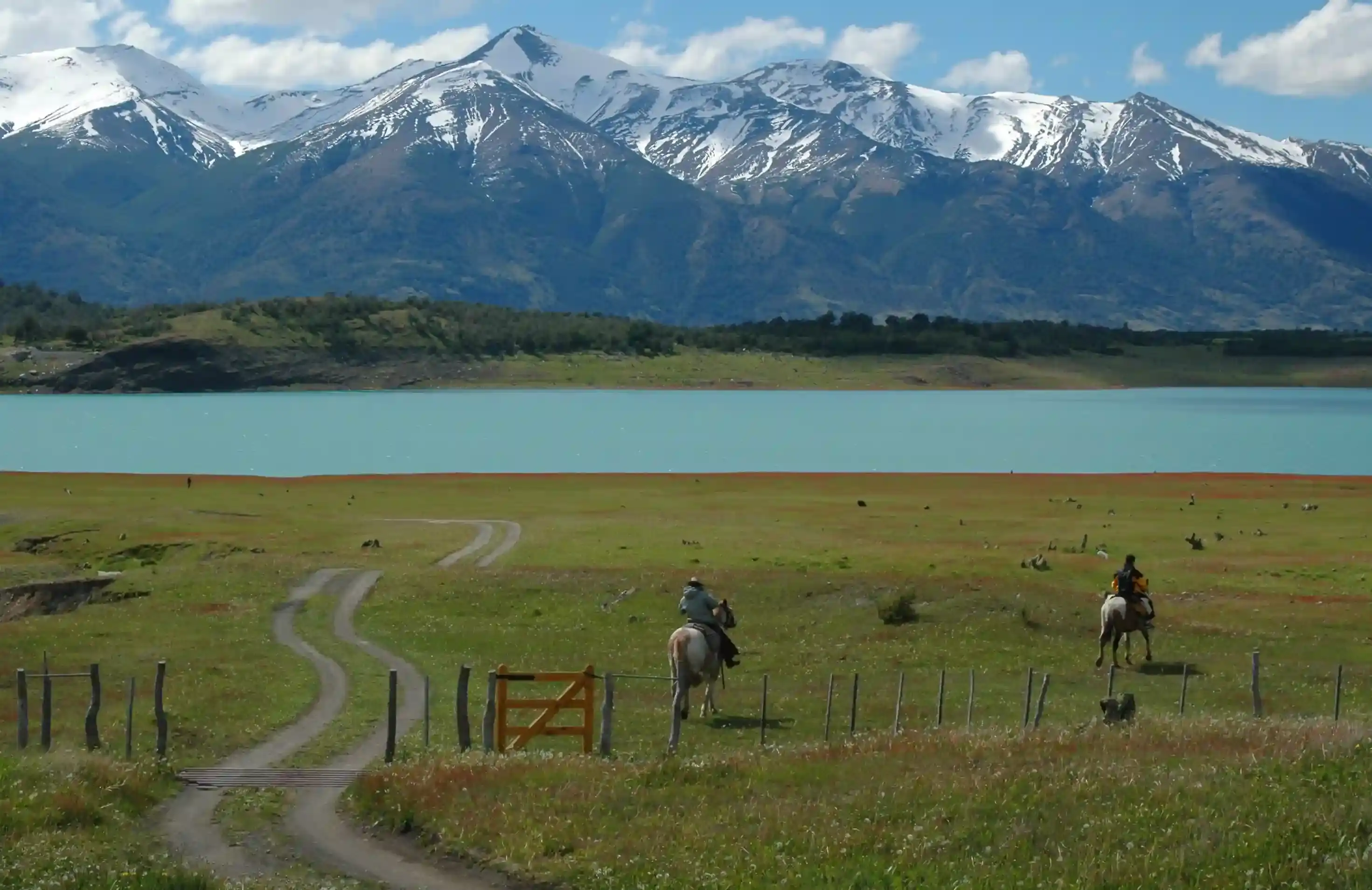
Gauchos on horseback by a turquoise lake under snowy Patagonian peaks
Patagonia route

Ruta 40 from Bariloche to Esquel: lakes, El Bolsón and the first open steppe

The gentle day of the Ruta 40 south run: forest and lakes to El Bolsón, then the valley opens and the steppe begins. Fuel everywhere until Epuyén, then 120 km of nothing to Esquel.

North to south, the first day of our Ruta 40 itinerary. Data computed 2026-10-20, notes updated 2026-10-21.

  • 285 km177 miles
  • 87 % paved14 km gravel, 24 km untagged
  • 1,067 mhighest point, 2,636 m of climbing
  • 21 fuel stopslongest gap 120 km
  • 4 to 4.5 hriding time, stops not included
  • 6 windy daysgusts over 60 km/h in Dec
50 100 150 200 250 km 0: YPF, San Carlos de Bariloche km 0: YPF, San Carlos de Bariloche km 0: Axion, San Carlos de Bariloche km 0: ACA, San Carlos de Bariloche km 1: Puma, San Carlos de Bariloche km 1: YPF, San Carlos de Bariloche km 2: YPF, San Carlos de Bariloche km 2: Puma Energy, San Carlos de Bariloche km 3: Axion, San Carlos de Bariloche km 30: Lago Mascardi, Lago Mascardi km 30: ACA Lago Mascardi, Villa Mascardi km 119: YPF, El Bolsón km 120: YPF, El Bolsón km 121: ACA, El Bolsón km 121: Puma, El Bolsón km 135: YPF, El Hoyo km 161: PetroChubut, Epuyen km 281: Axion, Esquel km 285: YPF, Esquel km 285: ACA, Esquel km 285: YPF, Esquel San Carlos de Bariloche El Bolsón Esquel
Route traced on real roads with OSRM; orange dots are fuel stations within 1.5 km of the road, numbers are kilometres from the start. Open the area in OpenStreetMap.
223 m 645 m 1,067 m San Carlos Lago Mascardi El Bolsón Epuyen Esquel 0 km 285 km
Elevation every kilometre (SRTM via Open-Meteo), from 223 to 1,067 m. Dashed lines are fuel stations.

What this stretch is

Bariloche to Esquel is the day that eases you into Patagonia. The first 120 km follow the Andes south through the Nahuel Huapi park: Lago Gutiérrez, Lago Mascardi, Lago Guillelmo, then the Río Villegas canyon, where Ruta 40 narrows and twists between rock and river before it drops into the wide valley of El Bolsón. South of El Bolsón the forest thins out through El Hoyo and Epuyén, and after the Leleque plateau the trees are gone: this is where the steppe starts, and it does not stop until El Calafate.

The road is paved end to end. OpenStreetMap tags 247 of the 285 km as asphalt and 14 km as gravel or dirt, most of it on side streets and the short link roads; the 24 untagged kilometres are pavement nobody has labelled. The real hazards are trucks on the canyon curves, loose gravel on the shoulders after roadworks, and the odd cow.

Fuel: easy until Epuyén, then 120 km

This is the best-served segment of the whole route: 21 stations within 1.5 km of the road, nine of them in Bariloche alone, plus the ACA pump at Villa Mascardi at kilometre 30, three in El Bolsón, one in El Hoyo and one in Epuyén at kilometre 161. From Epuyén there is nothing until the outskirts of Esquel, 120 km later. Any adventure bike covers that on half a tank, so the only real rule is to leave Epuyén with more than a quarter.

The stations in Bariloche and El Bolsón keep normal hours and some run 24/7. The small-town pumps in El Hoyo and Epuyén keep shorter hours and can close for lunch, which matters if you leave Bariloche late. Check the fuel range calculator with this segment selected if you are on something with a small tank.

The wind, or the lack of it

Among the five Ruta 40 segments this is the only one where wind is not the main variable. The reanalysis average for January is a daily maximum of 11 km/h, with about 5 days a month of gusts above 60 km/h; by comparison the Gobernador Gregores to El Chaltén segment has 21 such days. The mountains shelter the whole valley.

What you get instead is rain. From May to August the midpoint of the route sees 13 to 16 rainy days a month, and the canyon south of Mascardi gets the worst of it. Summer is dry and warm: highs of 25 °C in January and February, which on this road means long sleeves in the morning and the jacket vents open by noon.

Stops and detours worth the time

Lago Mascardi and the Tronador road. At kilometre 30 the road to Pampa Linda and the Tronador glaciers leaves Ruta 40 westward. It is a full day in itself and part of our Andes Crossing itinerary, not this one, but if you have the time it is the best gravel in the lake district.

El Bolsón. The town at kilometre 120 is the lunch stop: a craft-beer and artisan-market town between the Piltriquitrón mountain and the Río Azul. Lago Puelo, the national park at the bottom of the valley, is a 15 km detour south-west of town.

Cholila. South of Epuyén a side road heads west to the Cholila valley, where Butch Cassidy and the Sundance Kid ran a ranch from 1901 to 1905. The cabin still stands. From there Ruta Provincial 71 continues through Los Alerces national park to Trevelin and Esquel: longer, with gravel, and much prettier than the main road.

Leleque. The museum at the old Leleque estancia, right on Ruta 40 around kilometre 240, tells the history of the Tehuelche and the first settlers. Half an hour, and the only roof between Epuyén and Esquel.

Where to sleep

Bariloche has hundreds of options and is the obvious place to start. El Bolsón has hotels, cabins and campsites in every budget and is the natural halfway stop if you are riding slowly. Esquel is a proper town with a dozen hotels, mechanics and tyre shops: if something on the bike needs fixing before the long steppe days, this is the last place to do it with choice.

Riding it with us

This is day one of our Patagonia motorcycle tours south from Bariloche: a warm-up with good pavement, fuel every hour and a lunch in El Bolsón before the serious distances start. Read the Ruta 40 rider’s guide for the whole road, and the best time to ride Patagonia for the month you are planning.
Fuel stations and gaps

Stations mapped in OpenStreetMap within 1.5 km of the road, with the kilometre from San Carlos de Bariloche. Hours are what OSM has, often nothing. Check this segment against your tank.

kmStationTownHours (OSM)
0YPFSan Carlos de Bariloche
0YPFSan Carlos de Bariloche24/7
0AxionSan Carlos de Bariloche
0ACA (YPF)San Carlos de Bariloche
1PumaSan Carlos de Bariloche
1YPFSan Carlos de Bariloche
2YPFSan Carlos de BarilocheMo-Su 12:00-00:00
2Puma Energy (Puma)San Carlos de Bariloche
3AxionSan Carlos de Bariloche24/7
30Lago Mascardi (Aca)Lago Mascardi
30ACA Lago Mascardi (YPF)Villa Mascardi
119YPFEl Bolsón
120YPFEl Bolsón
121ACA (YPF)El Bolsón
121PumaEl Bolsón
135YPFEl Hoyo
161PetroChubut (YPF)Epuyen
281AxionEsquel
285YPFEsquel
285ACA (YPF)Esquel
285YPFEsquel
  • 120 km Epuyen (km 161) to Esquel
  • 89 km Villa Mascardi (km 30) to El Bolsón
  • 27 km San Carlos de Bariloche (km 3) to Lago Mascardi
  • 26 km El Hoyo (km 135) to Epuyen

Surface and roads

Kilometres by the surface tag of each road in OpenStreetMap. "Untagged" is road nobody has labelled yet, usually recent asphalt on main routes and gravel on minor ones.

  • Paved 247 km
  • Gravel and dirt 14 km
  • Untagged 24 km

Roads, by length: RN40 234 km; RN259 7 km.

Weather by month, ten years measured

ERA5 reanalysis, 2016 to 2025, at a point halfway along the segment (-42.10, -71.44). Temperatures are the monthly mean of the daily high and low; wind is the mean daily maximum; gusty days count days with gusts above 60 km/h. The riding window on these numbers runs Sep to Apr, with Mar the calmest month inside it. Compare regions in the season planner.

MonthHigh °CLow °CWind km/hGusty daysRain daysSnow days
Jan 25 12 11 5 5 0
Feb 25 12 10 4 6 0
Mar 22 10 9 3 8 0
Apr 16 7 7 4 12 0
May 12 4 6 3 14 0
Jun 8 2 6 4 16 0
Jul 8 1 6 4 16 0
Aug 9 2 6 5 16 0
Sep 12 3 7 3 13 0
Oct 16 5 9 4 11 0
Nov 20 8 10 5 10 0
Dec 23 10 11 6 8 0
Read before you ride

Guides for this road

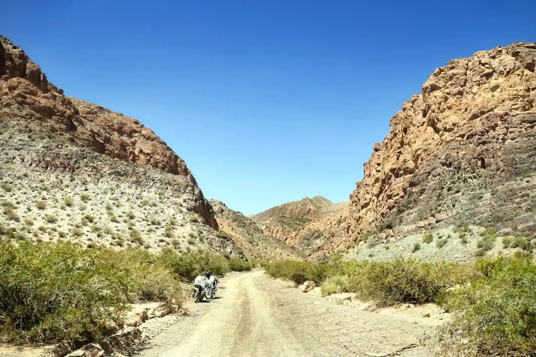
Motorcycle on a gravel road through a rocky Patagonian canyon under clear blue sky. Patagonia

The Best Time to Ride Patagonia: Month-by-Month Guide

In early January, the wind on the southern stretch of Ruta 40 between Perito Moreno and El Calafate can push a fully loaded adventure bike sideways across half a lane, in broad daylight, on dry...

12 min read
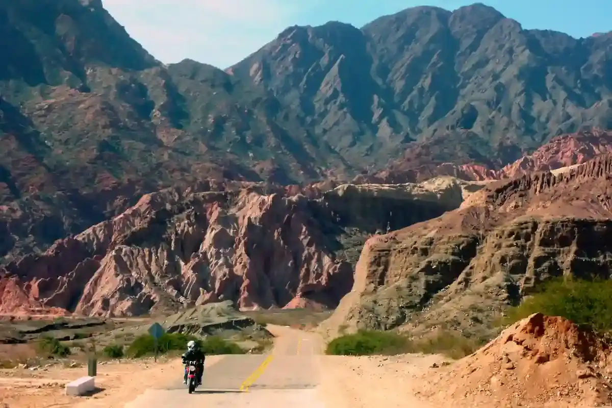
A motorcycle rider on a paved road approaching the red rock formations of the Quebrada de las Conchas near Cafayate, Argentina. Tips

How to Plan a Motorcycle Trip to Argentina: A 2026 Guide

Somewhere around the third planning session, every rider runs into the same wall: Argentina is 3,700 km (2,300 mi) long from the subtropical north to Tierra del Fuego, the riding seasons in those...

14 min read
Ride it with the van behind you

This is a day on our Patagonia itinerary.

Small groups of 4 to 8 riders, a support van with spare fuel for the Bajo Caracoles gap, and guides who know which pump is open this week.