What this stretch is
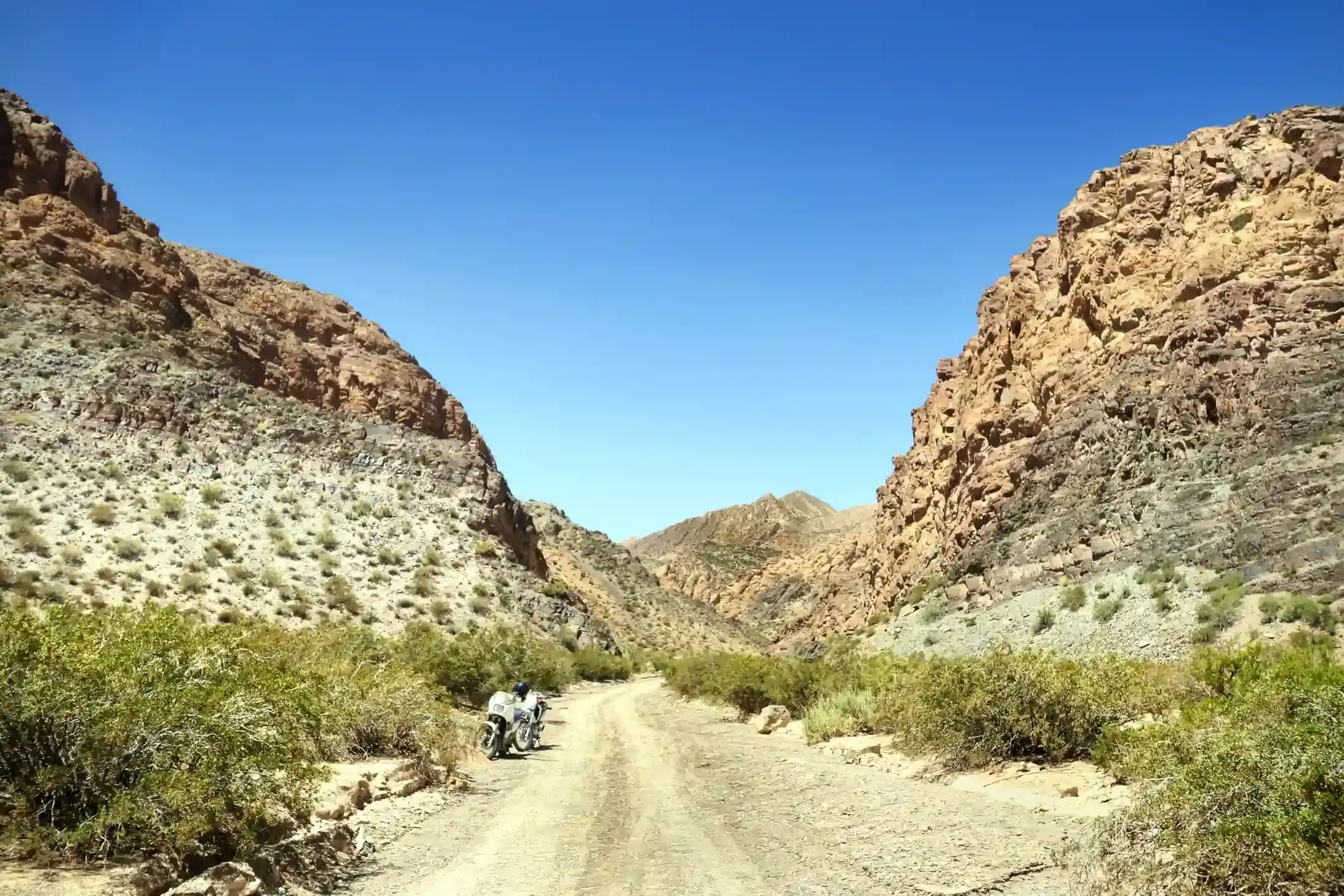
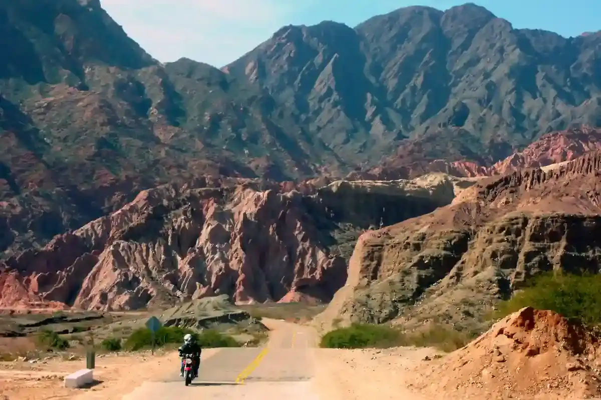
This is the heart of the Santa Cruz steppe on Ruta 40: 357 km from Perito Moreno, the last proper town in the north of the province, to Gobernador Gregores, the next one with a bank, a hospital and a 24-hour fuel station. In between there is Bajo Caracoles, which is a hotel, a pump and a handful of houses at kilometre 130, and then nothing with a roof you can count on until Gregores.
The road itself is no longer the gravel ordeal of the forum legends. OpenStreetMap tags 285 of the 357 km as paved and only 9 km as gravel; another 63 km carry no surface tag at all, which on this section almost always means recent asphalt that nobody has gone back to label. Ride it expecting pavement with the odd stretch of roadworks, loose stone on the shoulders, and cattle grids.
What makes it a serious day is not the surface. It is the distance between pumps and the wind.
The fuel problem, in kilometres
Leave Perito Moreno full: there is a YPF and an Axion in town, both near the Ruta 40 junction. The next fuel is the pump at Bajo Caracoles, 130 km south. After that the next pump is the YPF at the entrance to Gobernador Gregores, 225 km further on. That number is the whole story of this segment.
Bajo Caracoles runs out. It is one pump supplied by truck, in January it serves every tour group, overlander and motorhome on the route, and when the tank is dry the next delivery is a day or two away. Riders who arrive from the north with a 16-litre tank and 130 km already burned are the ones who end up buying fuel from a van at the hotel, or waiting. So the rule on this stretch is simple:
- If your usable range is under 260 km, carry spare fuel. Five litres is enough to turn a nervous 225 km into a normal one.
- Fill at Bajo Caracoles even if you do not need to. Top-ups there keep the gap to Gregores at 225 km instead of 355.
- Ask about the pump before you commit. The hotel knows whether the truck came. If the answer is no, the alternative is Los Antiguos or Perito Moreno behind you, not anything ahead.
Run your own bike through the fuel range calculator with this segment selected: it marks the gap as comfortable, tight or impossible for your tank, your consumption and the wind you expect.
The wind
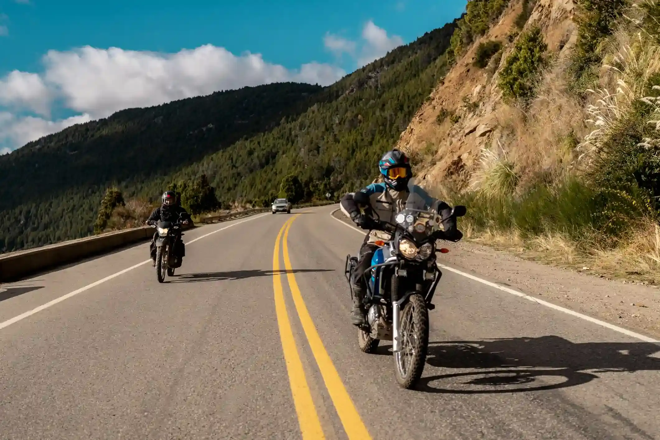
The road runs almost due south and the wind comes from the west and north-west, so for most of the day it is a crosswind, with a tailwind on the few bends that turn east. The reanalysis numbers below are the average of ten summers at a point halfway along the segment: in January the daily maximum wind averages 37 km/h and 16 days of the month see gusts above 60 km/h. December is slightly worse. By April the gusty days drop to 7, and the shoulder months of October and November sit in between.
Two practical consequences. First, fuel: a day of crosswind and gusts adds 15 to 30 % to your consumption, which is why the calculator has a wind setting. Second, time: at 90 km/h with a steady push from the right, 357 km is five hours in the saddle, not four, and you will want the stop at Bajo Caracoles for more than fuel.
Stops and detours worth the time
Cueva de las Manos. The UNESCO-listed cave paintings in the Río Pinturas canyon, around 9,000 years old, are reached from Bajo Caracoles by Ruta Provincial 97, roughly 45 km of gravel each way. Guided visits run on a schedule; allow half a day including the ride in and out. There is also a northern access from Ruta 40 through Estancia Los Toldos, which involves a walk down into the canyon.
Lago Posadas and Lago Pueyrredón. From Bajo Caracoles, Ruta Provincial 39 heads west for about 70 km to the two lakes, one turquoise and one blue, under the Cerro San Lorenzo. It is a dead end unless you continue to the Paso Roballos border, so it is a day trip or an overnight.
Parque Nacional Perito Moreno. From the junction at Las Horquetas, about 90 km of gravel west to one of the least visited national parks in Argentina. Only with time, fuel and a bike you are happy to ride on loose stone.
Where to sleep
Perito Moreno has a dozen hotels and hostels and is the sensible place to start the day. Bajo Caracoles has one hotel with a few rooms and a campsite; in summer it is booked by groups weeks ahead, so do not count on it as a plan B. Gobernador Gregores has several hotels, a municipal campsite and restaurants that stay open late, and is where this day ends on our Patagonia itinerary.
Riding it with us
On our Patagonia motorcycle tours the support van carries spare fuel through this segment and the guides have ridden it enough times to know which rumours about the Bajo Caracoles pump are true that week. If you are riding it alone, read the Ruta 40 rider’s guide first and check the season planner for the month you have in mind.