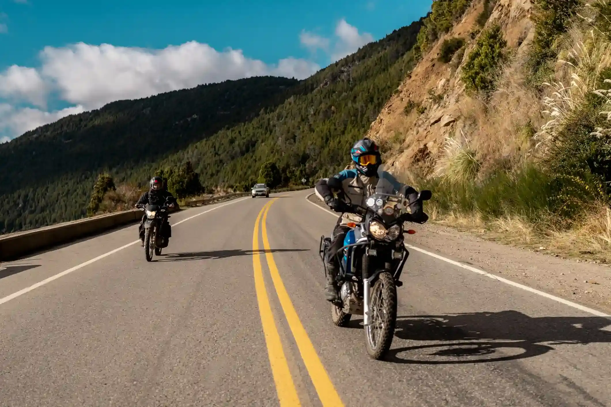
Two adventure motorcycles on a paved mountain road through Patagonian forest
Andes Crossing route

The Siete Lagos road: San Martín de los Andes to Villa La Angostura on Ruta 40

The most famous 108 km of pavement in the Argentine lakes: seven lakes, one road, no fuel between the two towns, and more traffic than you expect in January.

North to south, the fourth riding day of our Andes Crossing. Data computed 2026-10-20, notes updated 2026-10-21.

  • 108 km67 miles
  • 95 % paved3 km gravel, 3 km untagged
  • 1,168 mhighest point, 1,469 m of climbing
  • 3 fuel stopslongest gap 107 km
  • 1.5 to 1.5 hriding time, stops not included
  • 12 windy daysgusts over 60 km/h in Jun
50 100 km 0: YPF, San Martín de los Andes km 107: YPF, Villa La Angostura km 108: ACA, Villa La Angostura San Martín de los Andes Villa La Angostura
Route traced on real roads with OSRM; orange dots are fuel stations within 1.5 km of the road, numbers are kilometres from the start. Open the area in OpenStreetMap.
641 m 905 m 1,168 m San Martín Villa La 0 km 108 km
Elevation every kilometre (SRTM via Open-Meteo), from 641 to 1,168 m. Dashed lines are fuel stations.

What this stretch is

The Camino de los Siete Lagos is Ruta 40 at its most photographed: 108 km of asphalt between San Martín de los Andes and Villa La Angostura that pass Lago Lácar, Machónico, Falkner, Villarino, Escondido, Correntoso and Espejo, with Nahuel Huapi waiting at the end. It was finished as a paved road a decade ago; before that the middle section was gravel and the day took twice as long. Now it is a road of fast sweepers, short climbs to around 1,170 m, and a viewpoint every ten minutes.

OpenStreetMap tags 102 of the 108 km as paved and only 3 km as gravel, on the side roads to the beaches. The hazards are the ones of a popular road: cars pulling out of viewpoints, cyclists on the climbs, slow buses in summer, and wet shade under the trees in spring and autumn.

Fuel: nothing for 107 km

One YPF in San Martín at the start and the YPF and ACA in Villa La Angostura at the end, and nothing in between. The 107 km gap is not a problem for any bike that left San Martín full; it is a problem for the rider who arrived from Hua Hum the day before on reserve and forgot. Fill before you leave town. The fuel range calculator marks the segment as comfortable for every preset.

The weather

This is the drier side of the Andes but still the lakes: January highs of 20 °C with six or seven rainy days a month, 13 in April, 18 in July. The wind is moderate, seven gusty days a month in January, nine in December, mostly in the open sections near Lago Espejo and Correntoso. Snow is a factor from June to September: three snow days a month in July at the midpoint, and the road can be icy in the shade until mid-morning in the shoulder months. The rideable window on the numbers runs from November to April.

Stops and detours worth the time

Lago Machónico and Lago Falkner. The first two viewpoints south of San Martín; Falkner has a beach with a campsite right on the road.

Lago Villarino and Lago Escondido. The middle of the road, with the short walk to the Vuliñanco waterfall between them.

Lago Traful. From the junction at the southern end, Ruta Provincial 65 heads east along Lago Traful to Villa Traful and the Mirador del Viento, a cliff viewpoint above the lake. It is gravel, 35 km each way, and the best detour on the day if you have two hours.

Lago Espejo and Lago Correntoso. The last two before Villa La Angostura, and the ones with the Nahuel Huapi behind them. The Correntoso river, which links the two lakes, is one of the shortest rivers in the world and a fly-fishing landmark.

Where to sleep

San Martín de los Andes and Villa La Angostura both have every kind of lodging and both are expensive in January. Between them there are campsites at Falkner and Villarino and a couple of hosterías at Lago Espejo; nothing with fuel. Our itinerary rides this road in the morning and spends the afternoon in Villa La Angostura.

Riding it with us

The Siete Lagos is the easy, beautiful day in the middle of our Andes Crossing, between the Hua Hum gravel and the run into Bariloche. Read the best time to ride guide for the month, and the Ruta 40 rider’s guide for the rest of the road.
Fuel stations and gaps

Stations mapped in OpenStreetMap within 1.5 km of the road, with the kilometre from San Martín de los Andes. Hours are what OSM has, often nothing. Check this segment against your tank.

kmStationTownHours (OSM)
0YPFSan Martín de los Andes
107YPFVilla La Angostura
108ACA (YPF)Villa La Angostura
  • 107 km San Martín de los Andes (km 0) to Villa La Angostura

Surface and roads

Kilometres by the surface tag of each road in OpenStreetMap. "Untagged" is road nobody has labelled yet, usually recent asphalt on main routes and gravel on minor ones.

  • Paved 102 km
  • Gravel and dirt 3 km
  • Untagged 3 km

Roads, by length: RN40 101 km.

Weather by month, ten years measured

ERA5 reanalysis, 2016 to 2025, at a point halfway along the segment (-40.47, -71.58). Temperatures are the monthly mean of the daily high and low; wind is the mean daily maximum; gusty days count days with gusts above 60 km/h. The riding window on these numbers runs Nov to Apr, with Feb the calmest month inside it. Compare regions in the season planner.

MonthHigh °CLow °CWind km/hGusty daysRain daysSnow days
Jan 20 7 15 7 7 0
Feb 21 8 15 6 8 0
Mar 17 6 14 8 9 0
Apr 13 4 14 9 13 0
May 9 1 12 8 15 0
Jun 5 -0 13 12 19 2
Jul 5 -2 12 9 18 3
Aug 6 -1 13 11 17 3
Sep 7 -0 13 9 14 1
Oct 10 1 14 9 14 1
Nov 14 3 14 8 11 0
Dec 18 6 16 9 10 0
Read before you ride

Guides for this road

Motorcycle on a gravel road through a rocky Patagonian canyon under clear blue sky. Patagonia

The Best Time to Ride Patagonia: Month-by-Month Guide

In early January, the wind on the southern stretch of Ruta 40 between Perito Moreno and El Calafate can push a fully loaded adventure bike sideways across half a lane, in broad daylight, on dry...

12 min read
A motorcycle rider on a paved road approaching the red rock formations of the Quebrada de las Conchas near Cafayate, Argentina. Tips

How to Plan a Motorcycle Trip to Argentina: A 2026 Guide

Somewhere around the third planning session, every rider runs into the same wall: Argentina is 3,700 km (2,300 mi) long from the subtropical north to Tierra del Fuego, the riding seasons in those...

14 min read
Ride it with the van behind you

This is a day on our Patagonia itinerary.

Small groups of 4 to 8 riders, a support van with spare fuel for the Bajo Caracoles gap, and guides who know which pump is open this week.