What this stretch is
Hua Hum is the crossing most riders have never heard of, and the one our Andes Crossing takes into Argentina. From Neltume the road runs 20 km to Puerto Fuy at the head of Lago Pirihueico, where a car ferry takes bikes and riders down the lake, an hour and a half between forested walls, to Puerto Pirihueico at the far end. From there a gravel road climbs gently to the border, the Chilean post first and the Argentine post at Hua Hum a few kilometres on, then follows Lago Nonthué and the whole north shore of Lago Lácar to San Martín de los Andes.
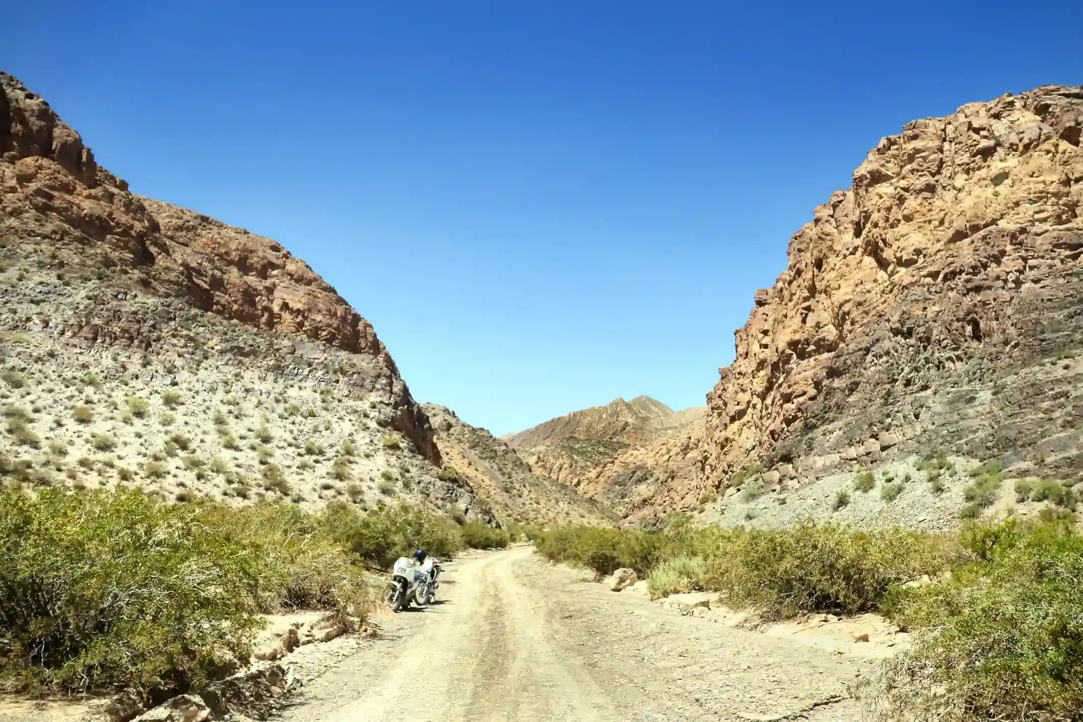
This is the gravel day: OpenStreetMap tags 117 of the 158 km as gravel or dirt and only 36 km as paved, those at the two ends. The Argentine side is a graded road, dusty in summer and soft after rain, with washboard on the climbs and a few narrow sections above the lake where you do not want to meet a bus on the inside of a bend. The segment’s 2,500 m of climbing is the sum of a hundred short ups and downs along the shore, not one pass: the highest point is 1,157 m.
The ferry
The Pirihueico ferry runs a few times a day from Puerto Fuy, more in summer, with motorcycles loaded first and tied down by the crew. Booking ahead is normal in January and February and the sailing you want decides what time you leave Neltume: if you miss it, the next one may be hours away. Chilean exit paperwork is not done at the port but at the border post after the crossing, so keep the bike’s documents accessible, not in the bottom of a pannier. The riding time in the figures above is for the road only: add two hours for the ferry and the two border posts.
Fuel: 135 km with nothing
Four stations on the segment and only two that matter: the pump at Puerto Fuy before the ferry, around kilometre 18 to 21, and the YPF and ACA in San Martín de los Andes at kilometre 156. Between them, 135 km without fuel, of which 117 are gravel. There is no fuel at either border post and none at Hua Hum. Fill in Panguipulli the day before, top up in Puerto Fuy if the pump is open, and check your bike against this segment in the fuel range calculator with the gravel setting selected: a 14-litre tank in soft gravel is closer to its limit here than the distance suggests.
The weather
The climate point for this segment sits on the border, and it is the wettest place on the tour: 10 rainy days a month in January, 16 in April and 18 in July, when the daily high averages 5 °C and it snows three days a month. The pass is low and rarely closes, but the gravel on the Argentine side turns to mud after a wet night and the ferry does not sail in a storm on the lake. Wind is not a concern, with four or fewer gusty days a month year round.
The border
Both posts are small and quiet compared with Cardenal Samoré, which is why we cross here. For a Chilean rental motorcycle leaving Chile you need the bike’s registration, the rental authorisation with the exit permission, your passport and the temporary import paperwork on the Argentine side; the border crossing checklist lists exactly what each officer asks for, in the order they ask. Allow an hour for both posts in summer, more if a bus arrives ahead of you.
Stops and detours worth the time
Puerto Fuy. The lake village at the ferry ramp, with cabins and a shop. If you have time before the sailing, the Salto del Huilo-Huilo is back up the road.
Lago Nonthué and Lago Lácar. The Argentine side is one long lake road with beaches at Hua Hum, the Chachín waterfall walk near the border, and the Quila Quina bay near San Martín. The light on Lácar in the late afternoon is the reason to ride it east.
San Martín de los Andes. The prettiest town in the Argentine lakes, at the end of the lake: fuel, a cash machine for pesos, and the first Argentine steak of the trip.
Where to sleep
Neltume and Puerto Fuy at the start; nothing between the ferry and San Martín except campsites at Hua Hum and Quila Quina. San Martín de los Andes has hotels, hosterías and cabins in every price band and books up in January and in the ski season.
Riding it with us
This is the crossing day of our Andes Crossing, with the ferry booked, the border paperwork prepared the night before and the van carrying spare fuel for the gravel. Read the Argentina and Chile documentation guide first, and our tips for navigating the Andes for the gravel.