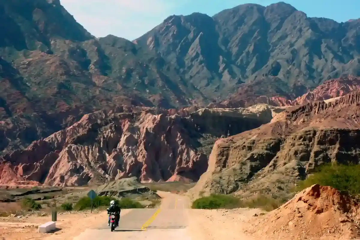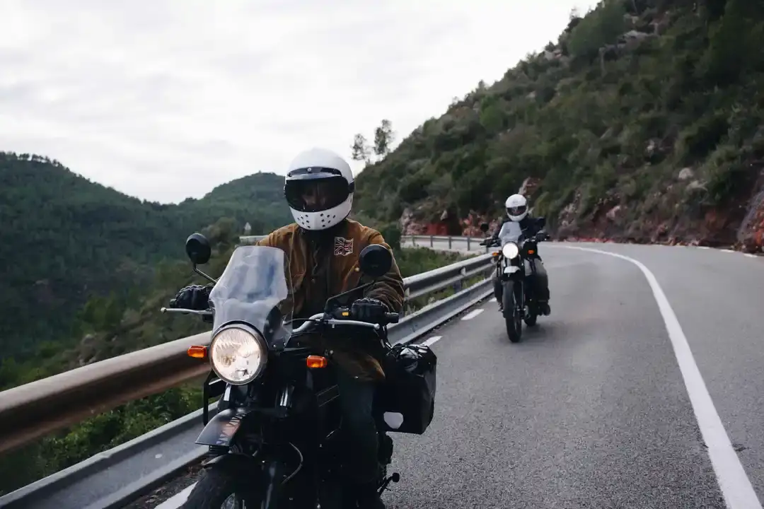
Two riders on a paved road through dense forest in the Andes
Andes Crossing route

Cardenal Samoré pass: Bariloche to Osorno across the Andes on Ruta 231 and Ruta 215

The paved crossing home: Villa La Angostura, the climb to the pass, two border posts, and the long descent through the Puyehue rainforest to Osorno. Nothing between Villa La Angostura and Entre Lagos for 114 km.

East to west, the road the motorcycles take home after our Andes Crossing. Data computed 2026-10-20, notes updated 2026-10-21.

  • 249 km155 miles
  • 88 % paved13 km gravel, 18 km untagged
  • 1,423 mhighest point, 2,227 m of climbing
  • 35 fuel stopslongest gap 114 km
  • 3.5 to 4 hriding time, stops not included
  • 5 windy daysgusts over 60 km/h in Aug
50 100 150 200 km 0: YPF, San Carlos de Bariloche km 0: Axion, San Carlos de Bariloche km 0: Puma Energy, San Carlos de Bariloche km 0: YPF, San Carlos de Bariloche km 2: YPF, San Carlos de Bariloche km 2: Axión Energy, San Carlos de Bariloche km 2: Puma, San Carlos de Bariloche km 2: ACA, San Carlos de Bariloche km 3: Puma, San Carlos de Bariloche km 5: YPF Las Victorias, San Carlos de Bariloche km 16: Axion, Dina Huapi km 16: Puma, Dina Huapi km 83: ACA, Villa La Angostura km 84: YPF, Villa La Angostura km 198: Copec, Entre Lagos km 198: Aramco, Entre Lagos km 246: Shell, Osorno km 246: Copec, Osorno km 246: Shell, Osorno km 246: Terpel, Osorno km 246: Shell, Osorno km 247: Copec, Osorno km 247: Aramco, Osorno km 247: Aramco, Osorno km 248: Copec, Osorno km 249: Shell, Osorno km 249: Aramco, Osorno km 249: Copec, Osorno km 249: Aramco, Osorno km 249: Copec, Osorno km 249: Shell, Osorno km 249: Aramco, Osorno km 249: Shell, Osorno km 249: Shell, Osorno km 249: Autogasco, Osorno San Carlos de Bariloche Paso Cardenal Antonio Samoré Osorno
Route traced on real roads with OSRM; orange dots are fuel stations within 1.5 km of the road, numbers are kilometres from the start. Open the area in OpenStreetMap.
28 m 726 m 1,423 m San Carlos Villa La Entre Lagos Osorno 0 km 249 km
Elevation every kilometre (SRTM via Open-Meteo), from 28 to 1,423 m. Dashed lines are fuel stations.

What this stretch is

Cardenal Samoré is the main road crossing between the Argentine and Chilean lake districts and the one every bus, truck and rental car uses, which is exactly why our Andes Crossing enters Argentina by the quieter Hua Hum and the motorcycles come home this way once the tour has ended in Bariloche: it is fast, paved and open almost all year. From Bariloche, Ruta 40 retraces the Nahuel Huapi shore to Villa La Angostura, then Ruta 231 climbs north-west through the forest to the border complex, and on the Chilean side Ruta 215 drops through Puyehue national park, past the hot springs at Aguas Calientes and the lake at Entre Lagos, to Osorno.

It is 249 km and almost all pavement: OpenStreetMap tags 218 km as paved and 13 km as gravel or dirt on side roads, with 18 km untagged near the pass where the road was rebuilt. The climb is gentle, the descent on the Chilean side is longer and wetter, and the whole road is well surfaced except for the usual winter damage near the top.

Fuel: 114 km across the border

Thirty-five stations on the segment, almost all of them in Bariloche, Dina Huapi, Villa La Angostura and Osorno. The gap that matters is between the YPF and ACA in Villa La Angostura at kilometre 84 and the Copec at Entre Lagos at kilometre 198: 114 km with no fuel, across two border posts where a queue can add an hour or two of idling. There is no fuel at either post. Fill in Villa La Angostura, which is also where you spend your last Argentine pesos, and the fuel range calculator marks the segment as comfortable for any preset.

The border

The Argentine post sits in the complex just below the pass; the Chilean post is at Pajaritos, 20-odd km down the Chilean side. Chilean rental bikes re-entering Chile need the same papers they left with, plus the Argentine temporary import closed on the way out; the border crossing checklist has the exact list for each post. Chile’s agricultural inspection confiscates fresh food, so eat the fruit before the border. In January the queue at Pajaritos is the longest of the trip: arrive before midday.

The weather at the pass

The climate point for this segment is at the pass itself, and it is a different climate from the valleys. January highs average 17 °C, with 11 rainy days a month; July highs average 2 °C with 19 rainy days and 15 snow days a month. Snow closes the pass several times each winter, chains are compulsory from May to September, and even in October and November the road can be icy at the top in the morning. Wind is not a factor, with two to four gusty days a month. On the strict numbers at the pass, only January and February clear our threshold of a 12 °C average high with less than a day of snow a month; the valleys on either side are rideable from November to April, and in practice the pass is crossed year round by people who wait for the road to reopen.

Stops and detours worth the time

Villa La Angostura. The last Argentine town, at kilometre 84: fuel, pesos, lunch, and the turn onto Ruta 231.

Lago Espejo and the climb. Ruta 231 passes the northern end of Lago Espejo, then climbs through lenga forest to the pass, with the Cerro Bayo and the Puyehue volcano on either side.

Aguas Calientes and Anticura. On the Chilean descent, Puyehue national park has hot springs at Aguas Calientes, waterfalls at Anticura and the Salto del Indio, and the old-growth forest that makes this side so wet.

Entre Lagos and Lago Puyehue. The lakeside town at kilometre 198 with the first Chilean fuel and the last photo stop before the farmland.

Where to sleep

Bariloche at the start. Villa La Angostura if you want to cross in the morning fresh. On the Chilean side, Entre Lagos has lakeside hotels and the Termas de Puyehue resort is on the road; Osorno has the business hotels near Ruta 5 where the bikes are returned.

Riding it with us

Our Andes Crossing ends in Bariloche, so this is the road our crew rides the motorcycles home on to Osorno, and the crossing to plan for if you are continuing into Chile on your own bike. Read the Argentina and Chile documentation guide for the paperwork in both directions, and the Argentina versus Chile climate guide for the pass in each season.
Fuel stations and gaps

Stations mapped in OpenStreetMap within 1.5 km of the road, with the kilometre from San Carlos de Bariloche. Hours are what OSM has, often nothing. Check this segment against your tank.

kmStationTownHours (OSM)
0YPFSan Carlos de Bariloche24/7
0AxionSan Carlos de Bariloche
0Puma Energy (Puma)San Carlos de Bariloche
0YPFSan Carlos de Bariloche
2YPFSan Carlos de Bariloche
2Axión Energy (Axion)San Carlos de BarilocheMo-Su 12:00-00:00
2PumaSan Carlos de Bariloche
2ACA (YPF)San Carlos de Bariloche
3PumaSan Carlos de Bariloche
5YPF Las Victorias (YPF)San Carlos de Bariloche
16AxionDina Huapi
16PumaDina Huapi
83ACA (YPF)Villa La Angostura
84YPFVilla La Angostura
198CopecEntre Lagos
198AramcoEntre Lagos
246ShellOsornoMo-Su,PH 00:00-12:00
246CopecOsornoMo-Su,PH 00:00-12:00
246ShellOsorno
246TerpelOsorno
246ShellOsorno
247CopecOsorno
247AramcoOsorno
247AramcoOsorno
248CopecOsorno
249ShellOsorno
249AramcoOsorno
249CopecOsorno
249AramcoOsorno
249CopecOsorno
249ShellOsorno
249AramcoOsorno
249ShellOsorno
249ShellOsorno
249AutogascoOsorno
  • 114 km Villa La Angostura (km 84) to Entre Lagos
  • 67 km Dina Huapi (km 16) to Villa La Angostura
  • 48 km Entre Lagos (km 198) to Osorno
  • 11 km San Carlos de Bariloche (km 5) to Dina Huapi

Surface and roads

Kilometres by the surface tag of each road in OpenStreetMap. "Untagged" is road nobody has labelled yet, usually recent asphalt on main routes and gravel on minor ones.

  • Paved 218 km
  • Gravel and dirt 13 km
  • Untagged 18 km

Roads, by length: 215 104 km; RN40 75 km; RN231 26 km; RP237 5 km.

Weather by month, ten years measured

ERA5 reanalysis, 2016 to 2025, at a point halfway along the segment (-40.71, -71.94). Temperatures are the monthly mean of the daily high and low; wind is the mean daily maximum; gusty days count days with gusts above 60 km/h. The riding window on these numbers runs Jan to Feb, with Feb the calmest month inside it. Compare regions in the season planner.

MonthHigh °CLow °CWind km/hGusty daysRain daysSnow days
Jan 17 5 15 2 11 1
Feb 17 6 15 2 10 0
Mar 14 4 15 3 13 1
Apr 10 2 14 4 16 4
May 6 -1 14 3 18 7
Jun 3 -3 15 5 21 15
Jul 3 -3 13 4 19 15
Aug 3 -3 14 5 20 16
Sep 5 -3 13 3 17 13
Oct 7 -1 14 3 17 10
Nov 11 1 14 2 15 5
Dec 14 4 16 3 12 2
Read before you ride

Guides for this road

Motorcycle on a gravel road through a rocky Patagonian canyon under clear blue sky. Patagonia

The Best Time to Ride Patagonia: Month-by-Month Guide

In early January, the wind on the southern stretch of Ruta 40 between Perito Moreno and El Calafate can push a fully loaded adventure bike sideways across half a lane, in broad daylight, on dry...

12 min read
A motorcycle rider on a paved road approaching the red rock formations of the Quebrada de las Conchas near Cafayate, Argentina. Tips

How to Plan a Motorcycle Trip to Argentina: A 2026 Guide

Somewhere around the third planning session, every rider runs into the same wall: Argentina is 3,700 km (2,300 mi) long from the subtropical north to Tierra del Fuego, the riding seasons in those...

14 min read
Ride it with the van behind you

This is a day on our Patagonia itinerary.

Small groups of 4 to 8 riders, a support van with spare fuel for the Bajo Caracoles gap, and guides who know which pump is open this week.