What this stretch is
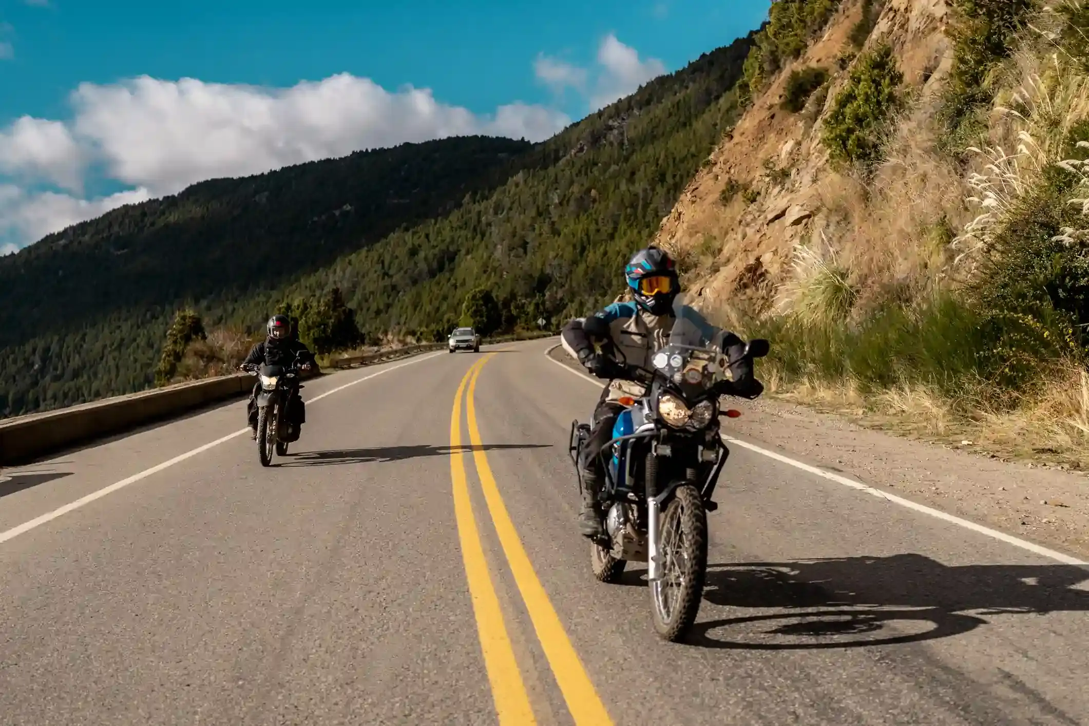
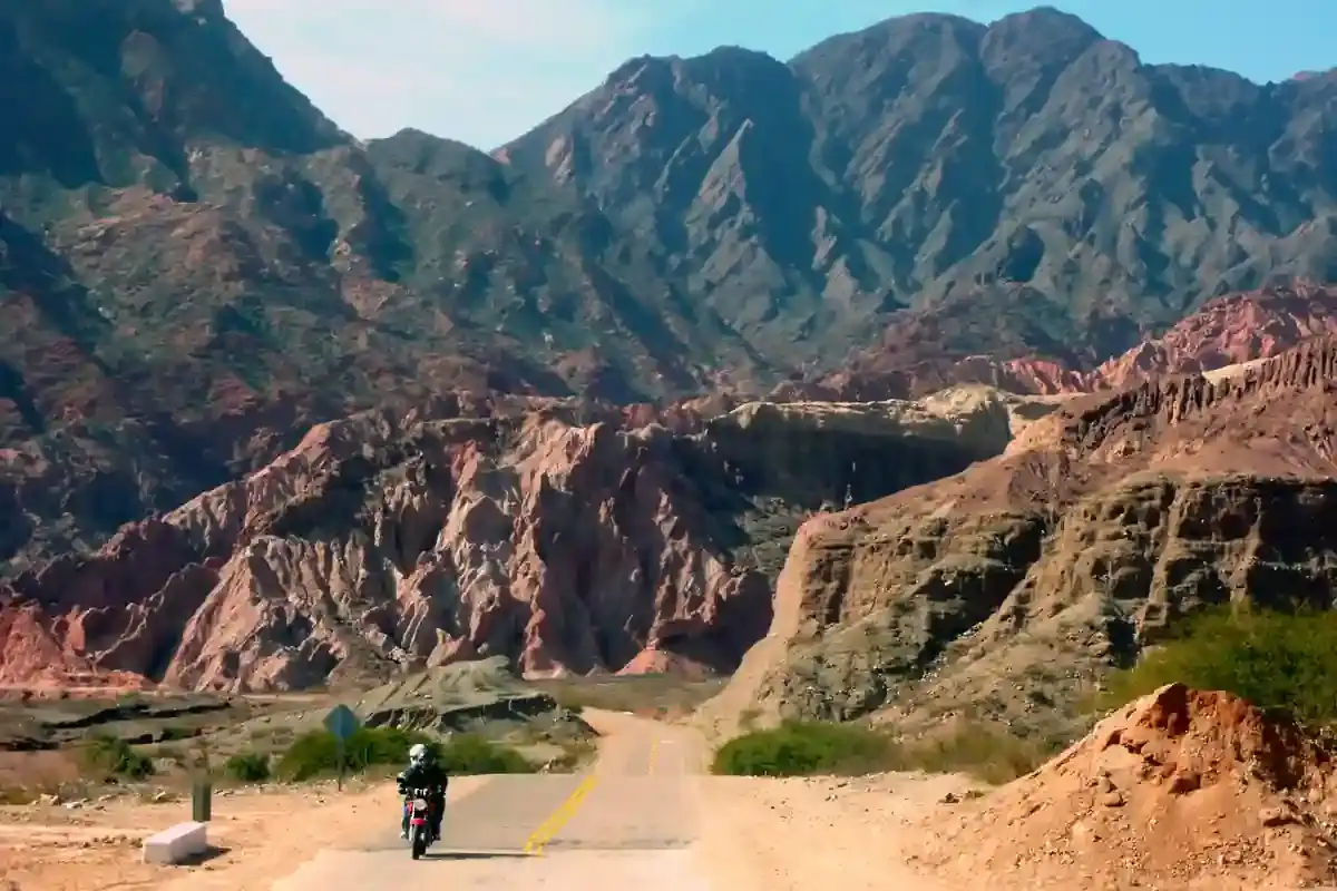
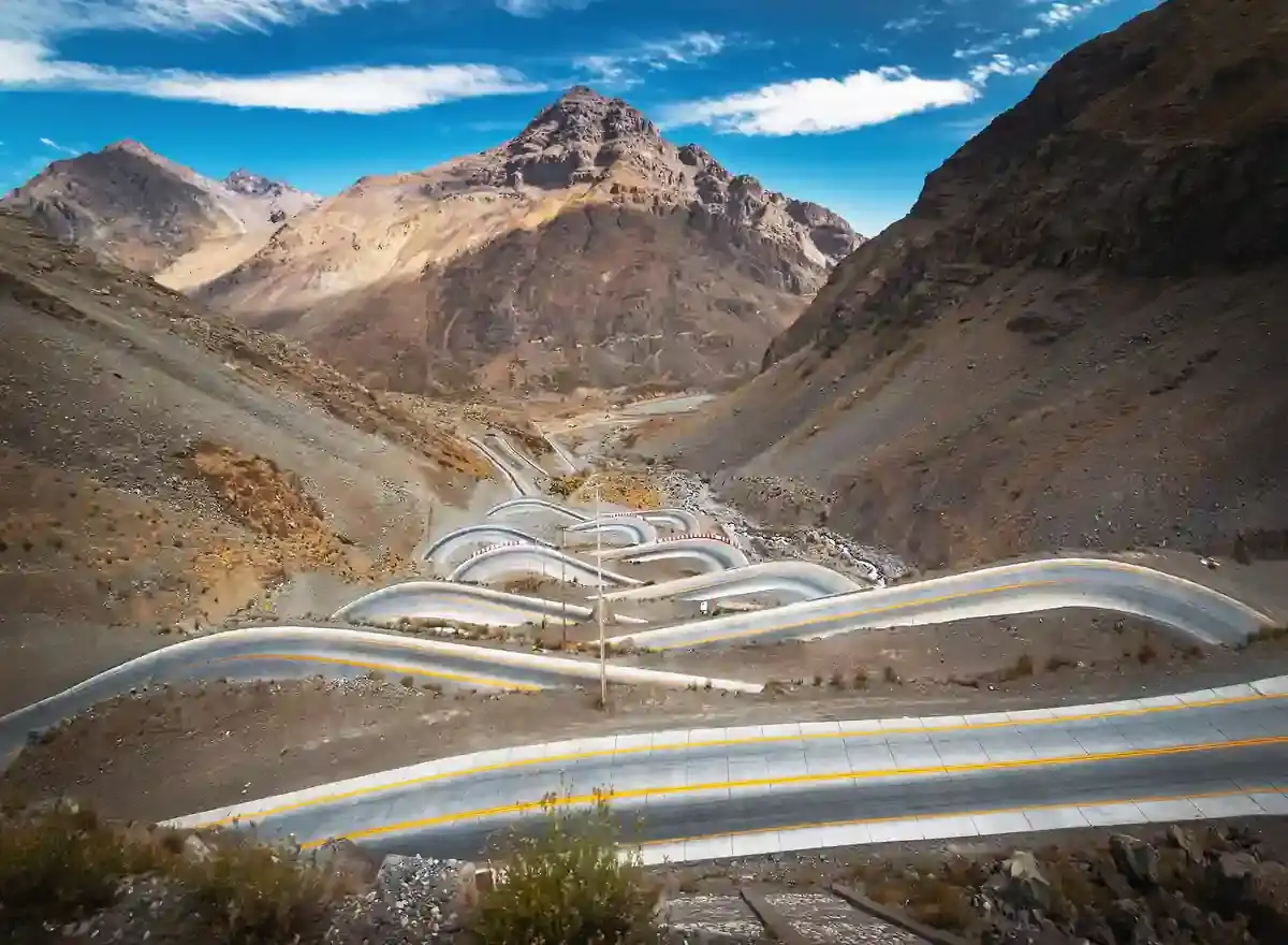
The Cuesta del Obispo is the road that connects Salta to the Calchaquí valleys directly, and the one everyone in Salta tells you to ride. From the city, Ruta 68 runs south through Cerrillos to El Carril, where Ruta Provincial 33 turns west into the Quebrada de Escoipe, a green gorge that narrows and climbs until the road breaks out onto the cuesta itself: 20 km of switchbacks up a bare mountainside to the pass at Piedra del Molino, 3,350 m. On the far side the road crosses the Los Cardones national park on the Recta de Tin Tin, 11 km of dead-straight road through a forest of giant cardón cactus, and drops to Payogasta and Cachi.
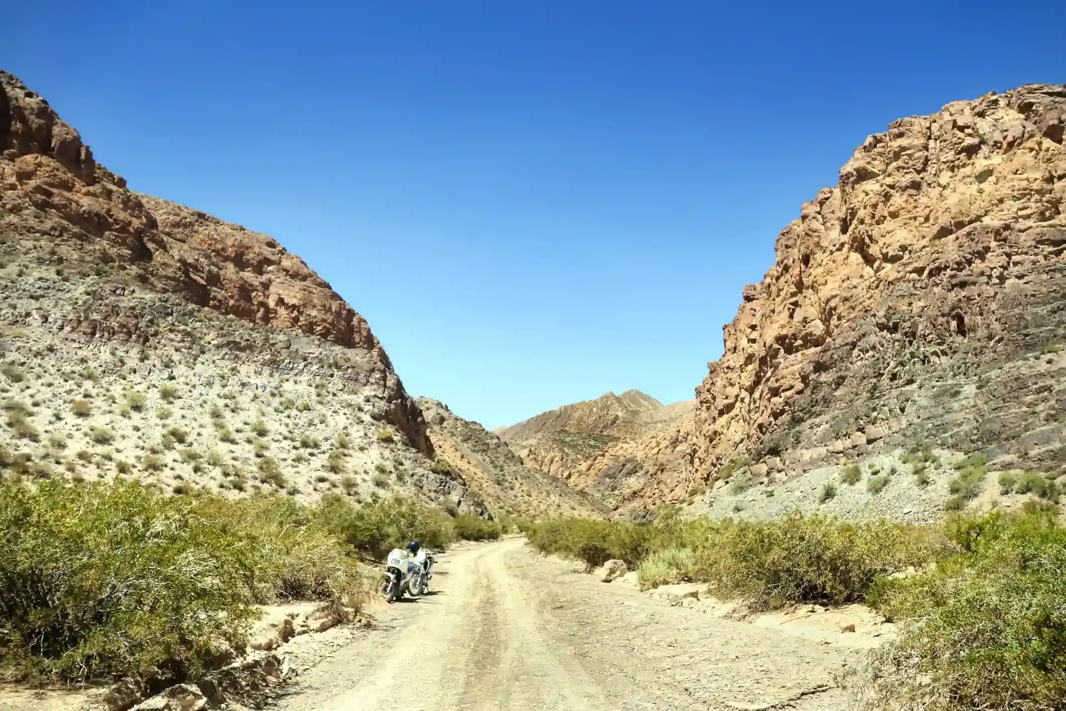
It is 155 km with 2,448 m of climbing. OpenStreetMap tags 126 km as paved and 17 km as gravel, which is the upper part of the cuesta: the switchbacks below the pass were still unpaved at the last survey, and in rain they are slick clay. The pavement on the Escoipe side is narrow and the gorge floods in summer storms.
Fuel: 119 km from El Carril to Cachi
Twenty-eight stations, all of them in Salta, Cerrillos, La Merced and El Carril in the first 36 km, then nothing until the ACA in Cachi at the end: 119 km without fuel, including the whole climb. It is well within any tank; leave Salta or El Carril full and the fuel range calculator marks the segment as comfortable. Ridden the other way, as our itinerary does, fill in Cachi and the next pump is El Carril.
The weather
The climate point for this segment is partway up the cuesta, and it is wet in summer: 23 rainy days in January and 21 in December, with highs around 19 °C, which on the pass means cloud, fog and water on the gravel switchbacks. The cuesta is famous for its morning fog in the wet season. From May to September it is dry, with four rainy days or fewer, highs of 14 °C at the midpoint and freezing nights at the pass. Wind is negligible all year.
The riding window on the temperature numbers runs all year; the dry season from April to November is the time to ride the cuesta, and the morning is when the condors fly.
Stops and detours worth the time
Quebrada de Escoipe. The green gorge at the bottom, with the village of Escoipe and the first views up the mountain.
The cuesta viewpoints. Several on the climb; the one near the top, just below Piedra del Molino, is where the Andean condors ride the updraughts in the morning. Our itinerary stops here for them.
Piedra del Molino. The pass, named for a millstone abandoned beside the road, with a chapel and the sign at 3,348 m.
Valle Encantado. A short gravel side road from the pass to a hidden valley of rock formations and lagoons; worth an hour in dry weather.
Recta de Tin Tin and Los Cardones. The straight through the cactus, built on an Inca road alignment, with the Nevado de Cachi ahead; the park has a short interpretive trail among the cardones.
Where to sleep
Salta at one end, Cachi at the other, both with everything. There is nothing with beds on the cuesta itself except a hostería near the top that opens in season.
Riding it with us
The Cuesta del Obispo is the closing road of our Andean Highlands loop, ridden from Cachi down to Salta on the last day with the condor stop at the top. Read our tips for navigating the Andes for riding mountain gravel in fog, and the top hidden routes for the Valle Encantado and the other side roads.