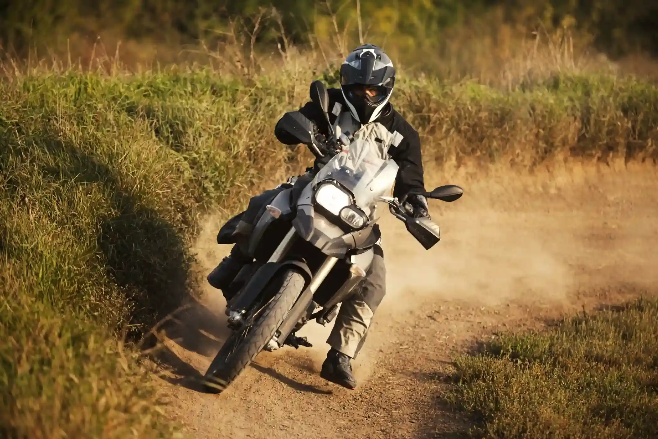
An adventure motorcycle cornering on a dusty dirt track
Andean Highlands route

Humahuaca to the Hornocal: 33 km of gravel up to the 14-colour mountain

The shortest segment in the atlas and the highest climb per kilometre: 33 km of gravel from Humahuaca to a viewpoint above 4,200 m, facing the striped wall of the Serranía del Hornocal.

Humahuaca up to the viewpoint and back the same way, the third riding day of our Andean Highlands loop. Data computed 2026-10-20, notes updated 2026-10-21.

  • 33 km21 miles
  • 0 % paved32 km gravel, 1 km untagged
  • 4,218 mhighest point, 1,272 m of climbing
  • 1 fuel stoplongest gap 33 km
  • 0.5 to 1 hriding time, stops not included
  • 14 windy daysgusts over 60 km/h in Sep
km 0: ACA, Humahuaca Humahuaca Serranía del Hornocal
Route traced on real roads with OSRM; orange dots are fuel stations within 1.5 km of the road, numbers are kilometres from the start. Open the area in OpenStreetMap.
2,951 m 3,585 m 4,218 m Humahuaca 0 km 33 km
Elevation every kilometre (SRTM via Open-Meteo), from 2,951 to 4,218 m. Dashed lines are fuel stations.

What this stretch is

From Humahuaca, Ruta Provincial 73 crosses the river and climbs east into the hills, 25 km of gravel switchbacks that gain 1,300 m to a viewpoint on a ridge. Across the valley stands the Serranía del Hornocal, a wall of folded limestone in fourteen colours that has become the most photographed thing in Jujuy. The road is out and back: 33 km up, 33 km down, and nothing else on it.

OpenStreetMap tags 32 of the 33 km as gravel, which is honest. It is a graded road, wide enough for the tourist minibuses, with washboard on the steeper ramps and loose stone on the outside of the hairpins. The climb is the thing: Humahuaca is at 2,950 m and the viewpoint is above 4,200 m by the elevation profile, so a carburetted bike loses a third of its power and any rider who came up from Salta two days ago feels the air.

Fuel: the ACA in Humahuaca, and that is all

One station on the segment, the ACA at the start in Humahuaca. Sixty-six kilometres there and back on gravel at altitude uses more fuel than the distance suggests, but no bike needs more than a quarter of a tank. The reason to fill in Humahuaca is tomorrow: the Salinas Grandes run has no fuel for 198 km. The fuel range calculator shows this segment as trivial.

The weather and the altitude

The climate point for this segment is near the viewpoint. Summer highs average 16 °C with 20 rainy days in January, mostly afternoon storms that make the gravel treacherous on the way down; winter highs average 12 °C with almost no rain, nights well below freezing, and a strong wind on the ridge, with 13 gusty days in October. Snow is rare but possible from June to August.

Altitude is the real variable. Ride up slowly, drink water, and do not plan to spend more than an hour at the top. If anyone in the group has a headache or nausea, the fix is to descend, and the road down takes forty minutes.

Stops and detours worth the time

The viewpoint. The light on the Hornocal is best from early afternoon, when the sun is behind you; in the morning the wall is in shadow. There is a small parking area, a shelter and usually a stall selling coca leaves and tea.

Humahuaca. Back in town, the Independence monument at the top of the stone staircase, the church, and the market stalls on the square.

Iruya. Not this road, but the other famous gravel out of the Quebrada: from Humahuaca north to Iturbe and then 50 km of switchbacks over a 4,000 m pass to a village hanging on a cliff. It is a full day and the subject of its own note one day.

Where to sleep

Humahuaca has hosterías and hostels; Tilcara and Purmamarca, 45 and 65 km back down the valley, have more choice and warmer nights, and our itinerary returns to the valley after the viewpoint.

Riding it with us

The Hornocal is the altitude test of our Andean Highlands loop: a short gravel climb above 4,000 m before the long puna days. Read our tips for navigating the Andes for riding at altitude, and the top 3 off-road adventure bikes if you are choosing a machine for roads like this.
Fuel stations and gaps

Stations mapped in OpenStreetMap within 1.5 km of the road, with the kilometre from Humahuaca. Hours are what OSM has, often nothing. Check this segment against your tank.

kmStationTownHours (OSM)
0ACA (YPF)Humahuaca
  • 33 km Humahuaca (km 0) to Serranía del Hornocal

Surface and roads

Kilometres by the surface tag of each road in OpenStreetMap. "Untagged" is road nobody has labelled yet, usually recent asphalt on main routes and gravel on minor ones.

  • Paved 0 km
  • Gravel and dirt 32 km
  • Untagged 1 km

Roads, by length: RP73 21 km.

Weather by month, ten years measured

ERA5 reanalysis, 2016 to 2025, at a point halfway along the segment (-23.19, -65.22). Temperatures are the monthly mean of the daily high and low; wind is the mean daily maximum; gusty days count days with gusts above 60 km/h. The riding window on these numbers runs Aug to May, with Feb the calmest month inside it. Compare regions in the season planner.

MonthHigh °CLow °CWind km/hGusty daysRain daysSnow days
Jan 16 5 11 1 20 1
Feb 16 5 11 1 16 0
Mar 16 5 11 1 14 1
Apr 16 3 13 4 4 1
May 13 -0 14 8 0 0
Jun 11 -2 14 8 0 0
Jul 12 -1 14 7 0 0
Aug 13 -1 16 10 1 1
Sep 16 1 18 14 2 0
Oct 18 3 17 13 6 0
Nov 18 4 15 6 12 1
Dec 17 5 12 2 16 0
Read before you ride

Guides for this road

Motorcycle on a gravel road through a rocky Patagonian canyon under clear blue sky. Patagonia

The Best Time to Ride Patagonia: Month-by-Month Guide

In early January, the wind on the southern stretch of Ruta 40 between Perito Moreno and El Calafate can push a fully loaded adventure bike sideways across half a lane, in broad daylight, on dry...

12 min read
A motorcycle rider on a paved road approaching the red rock formations of the Quebrada de las Conchas near Cafayate, Argentina. Tips

How to Plan a Motorcycle Trip to Argentina: A 2026 Guide

Somewhere around the third planning session, every rider runs into the same wall: Argentina is 3,700 km (2,300 mi) long from the subtropical north to Tierra del Fuego, the riding seasons in those...

14 min read
Ride it with the van behind you

This is a day on our Patagonia itinerary.

Small groups of 4 to 8 riders, a support van with spare fuel for the Bajo Caracoles gap, and guides who know which pump is open this week.